Yunnan (云南, Yúnnán) is the most diverse province in all of China, both in its mix of peoples (“nationalities”) and in its amazing landscapes. That combination of outstanding views and many different ethnic groups has made Yunnan the trendiest destination for China’s exploding domestic tourist industry. When I was there, in 2012, it was not yet quite such a magnet for Westerners, though it probably is by now.
More than half of China’s minority groups live here, then there’s the eye-catching contrasts of the land itself: dense jungle sliced by the Mekong River in the far south; views of the sunset over rice terraces in the southeast; snowcapped mountains as you edge towards Tibet. On China’s southwestern frontier, it is bordered by the Tibet Autonomous Region to the northwest, Sichuan Province to the north, Guizhou Province to the east, and the Zhuang Autonomous Region of Guangxi to the southeast. To the south and southeast it adjoins Laos and Vietnam, and to the southwest and west it shares a long border with Myanmar (formerly Burma)
There are so many places to go and things to see in Yunnan that it would take months to get to know it even moderately well. Unfortunately, I only had about a week in January, so I only saw a few corners during cold and snowy weather.
I started off in Lijiang – after a fairly quick change from train to bus via a student tourism office (where no-one spoke English) in Kunming – and finished back in Kunming, the provincial capital – which had the worst traffic of anywhere I’ve ever been (including Beijing and Shanghai). It was about an hour’s walk from my hotel to the city centre, which was much faster than taking a bus.
Lijiang
The hotel was pretty forgettable, except that it was very cold. Outside, it was well below freezing; indoors was just out of the wind.
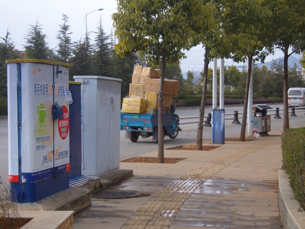
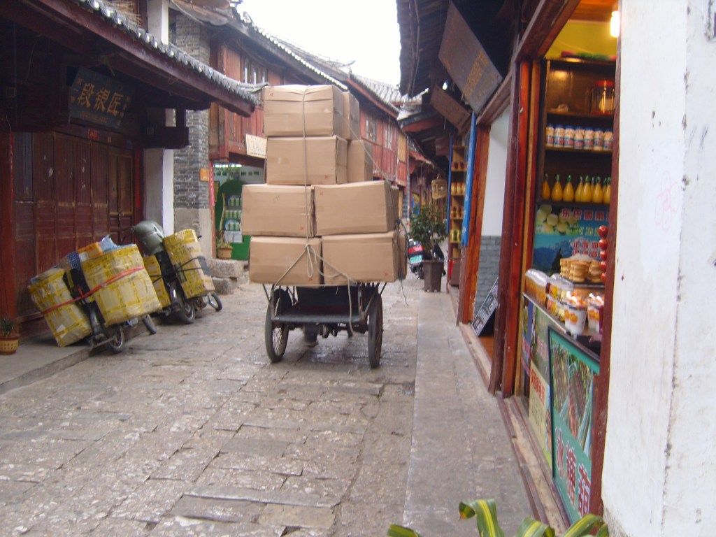
Heavy goods vehicle 
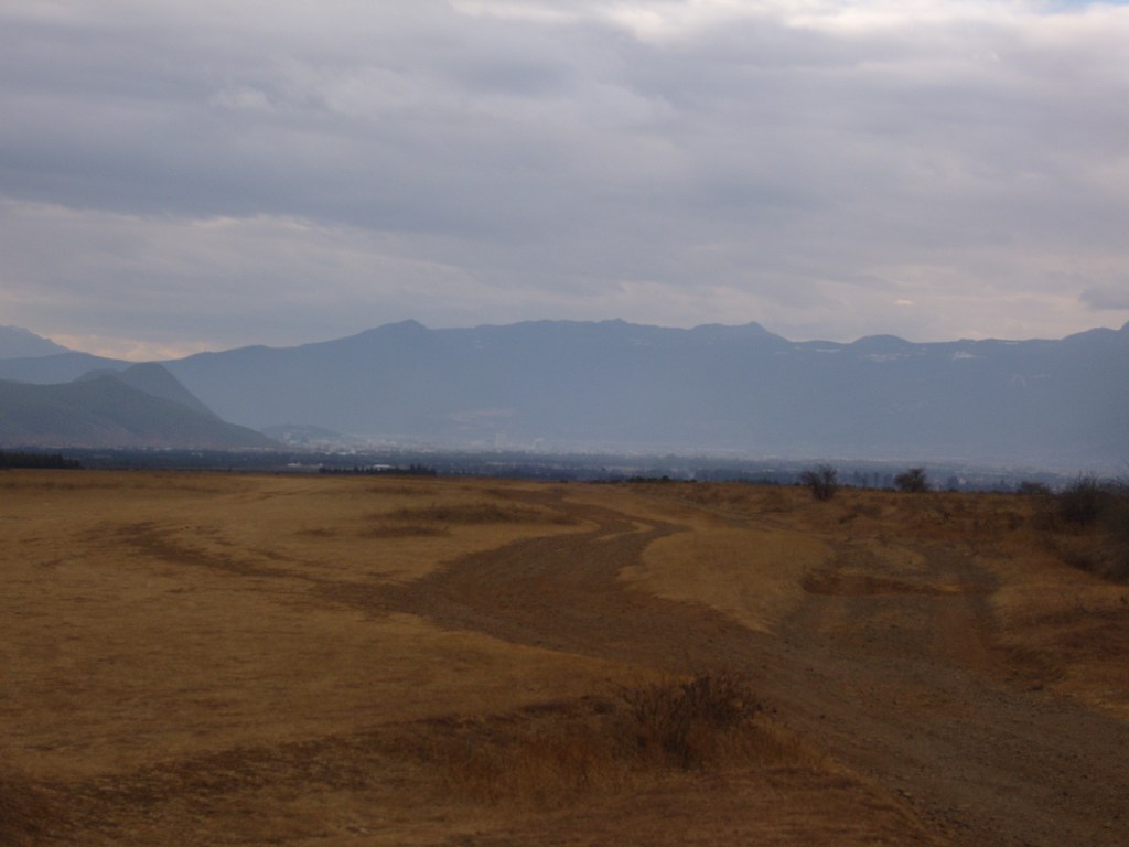
View from the hotel window 
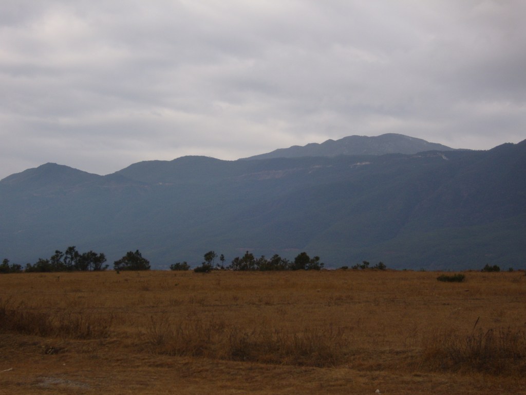
Another window view
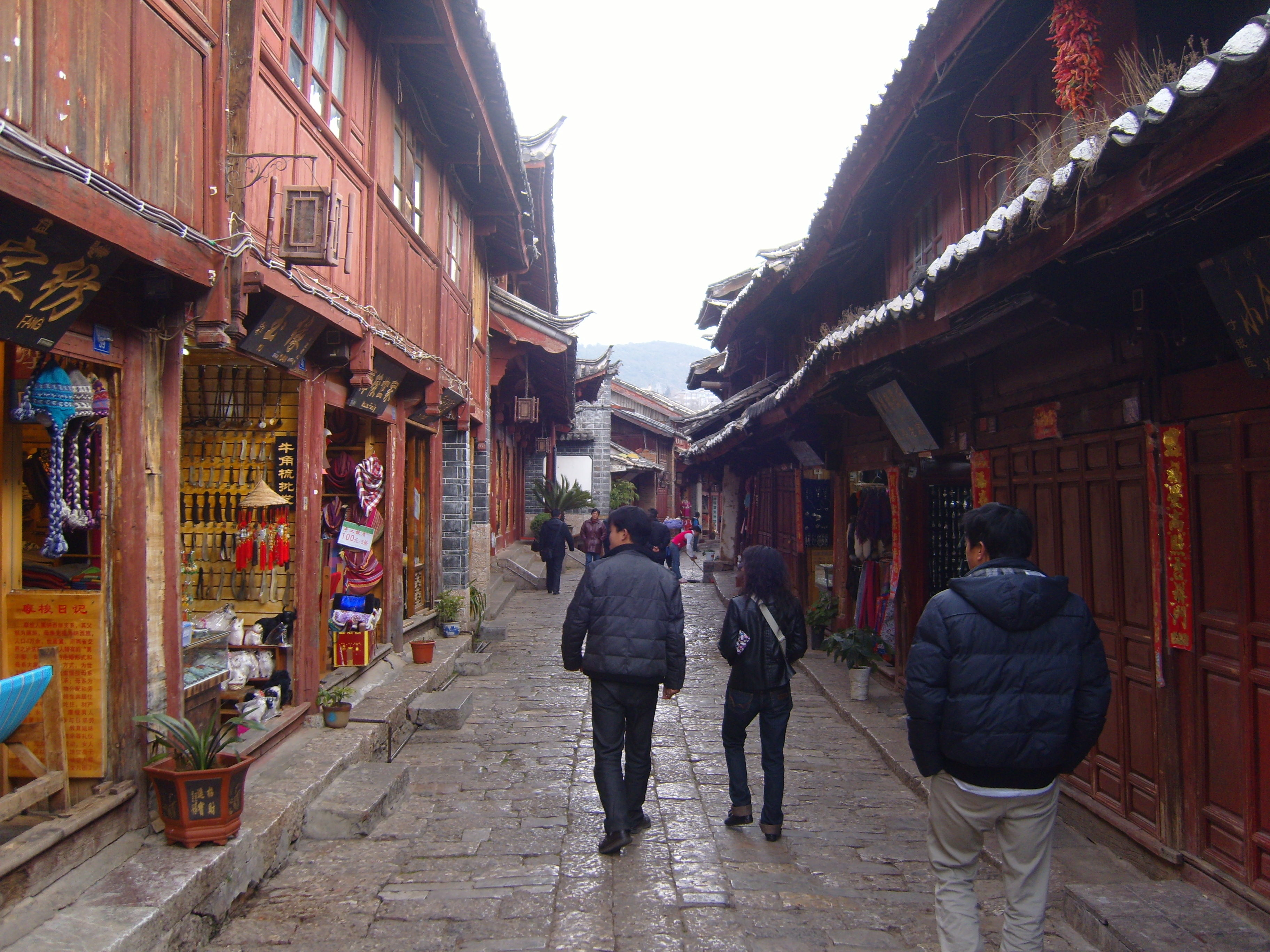
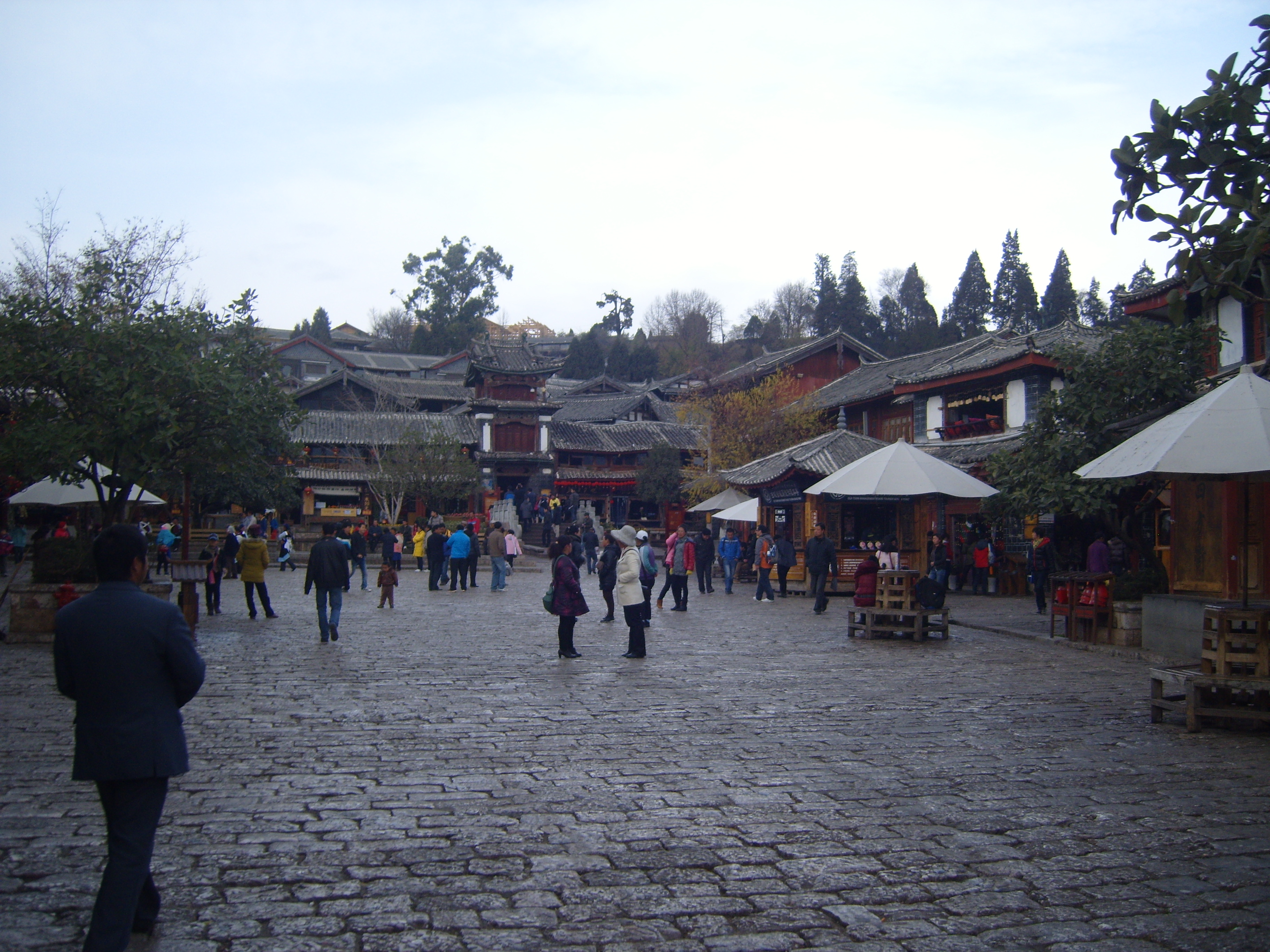
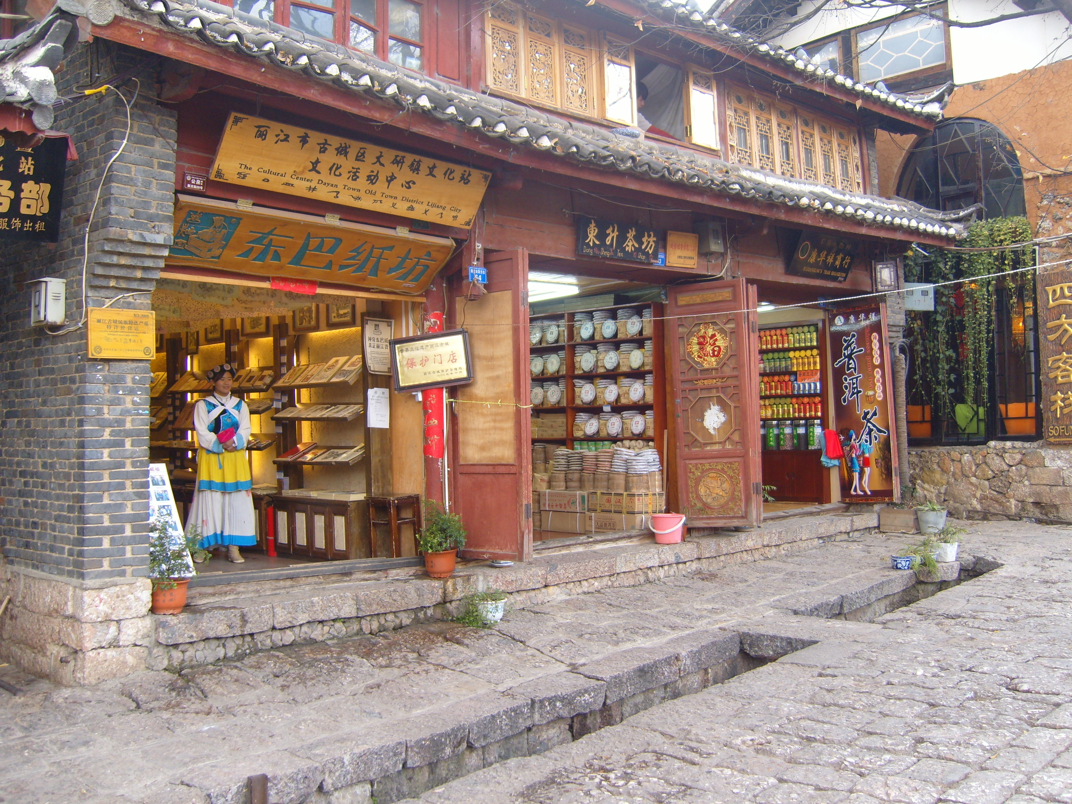
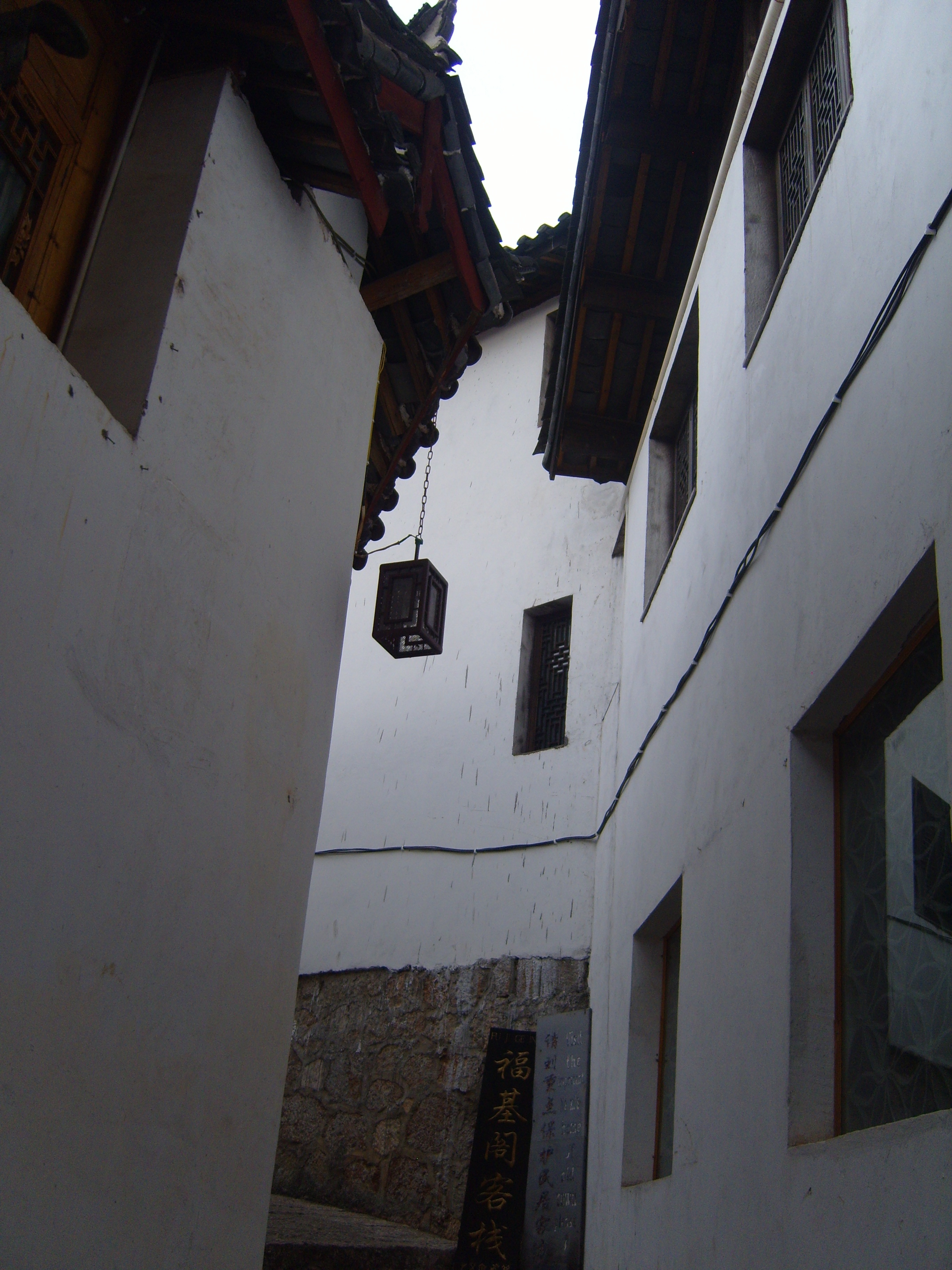
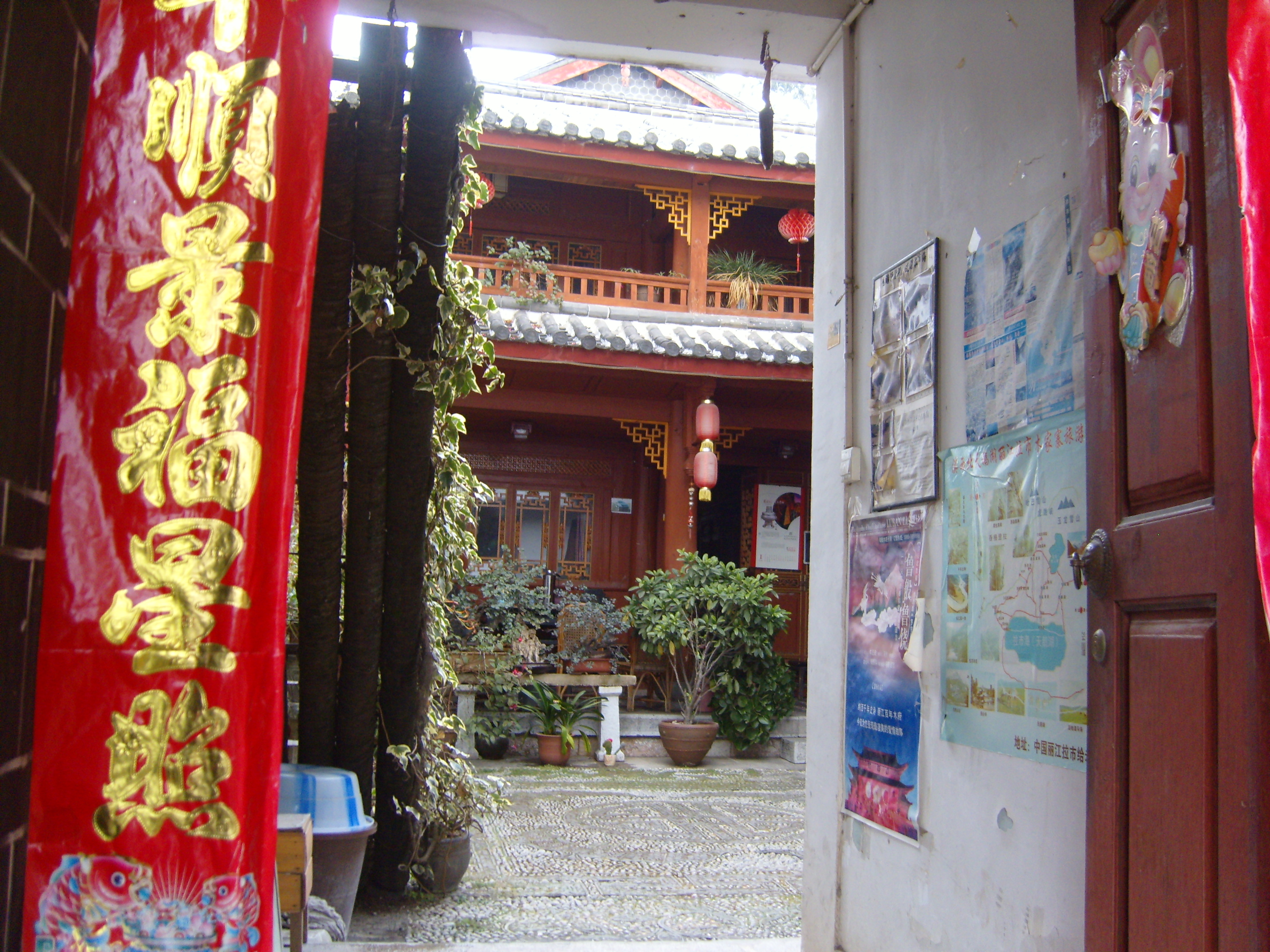
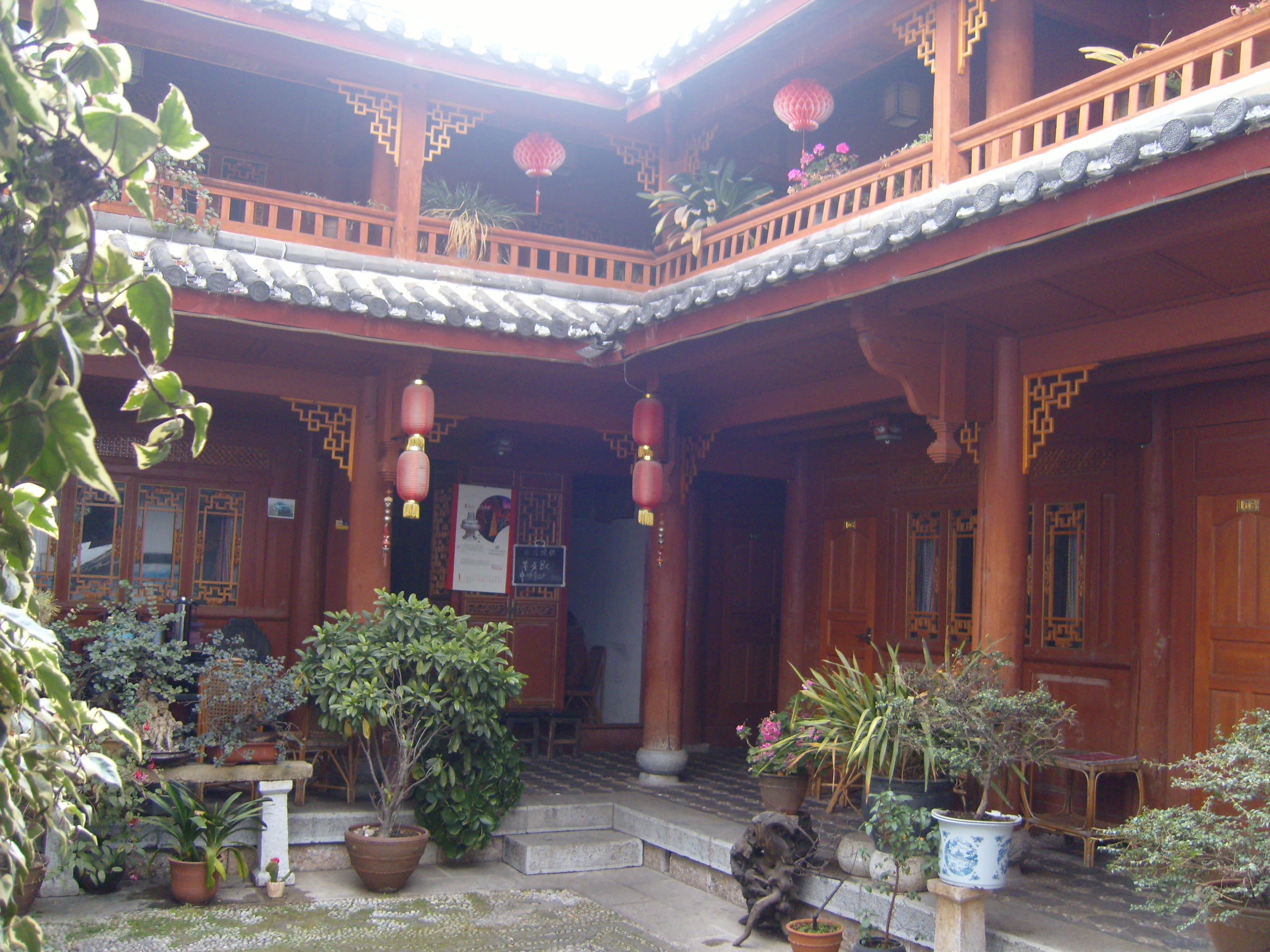
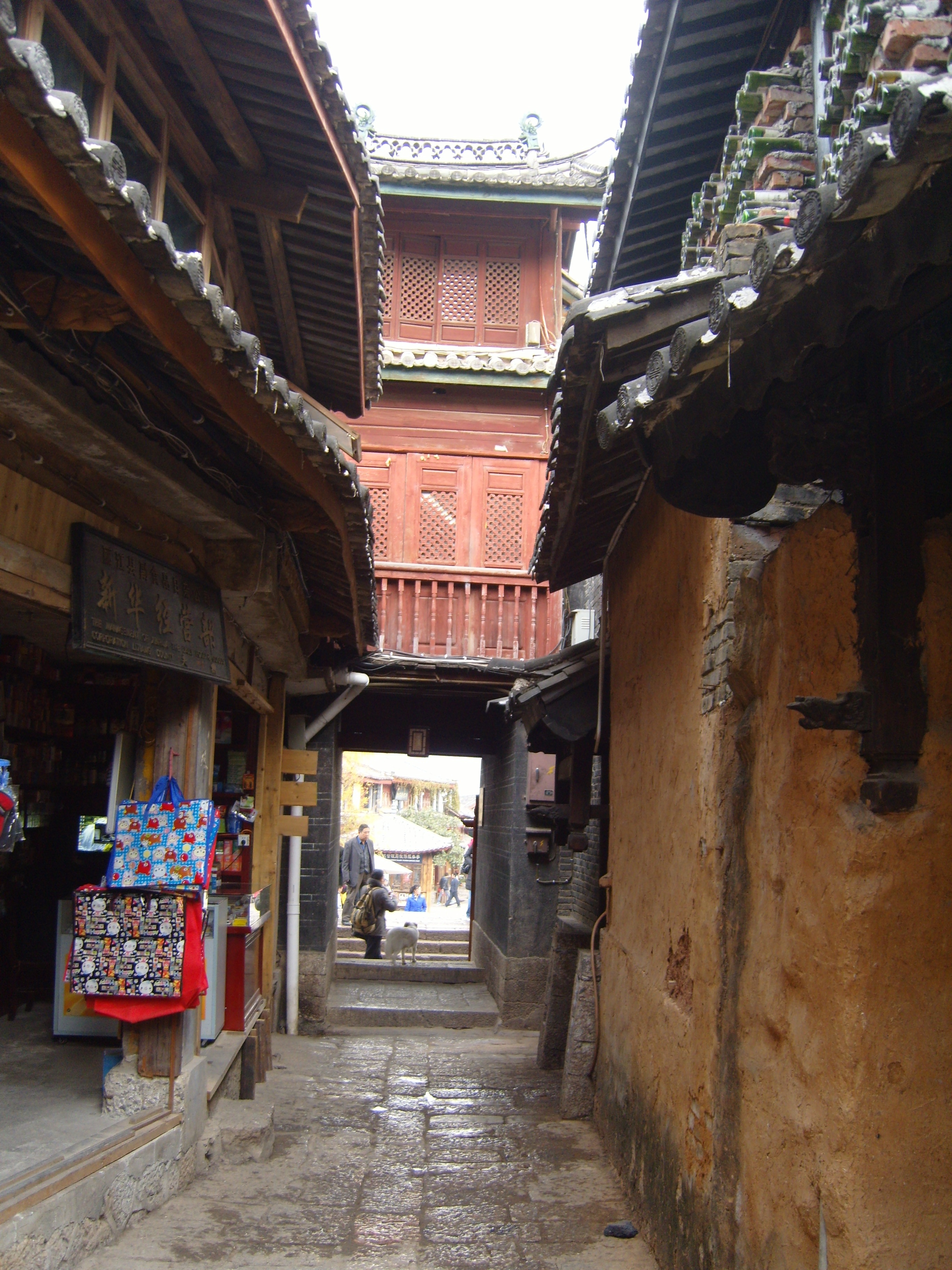
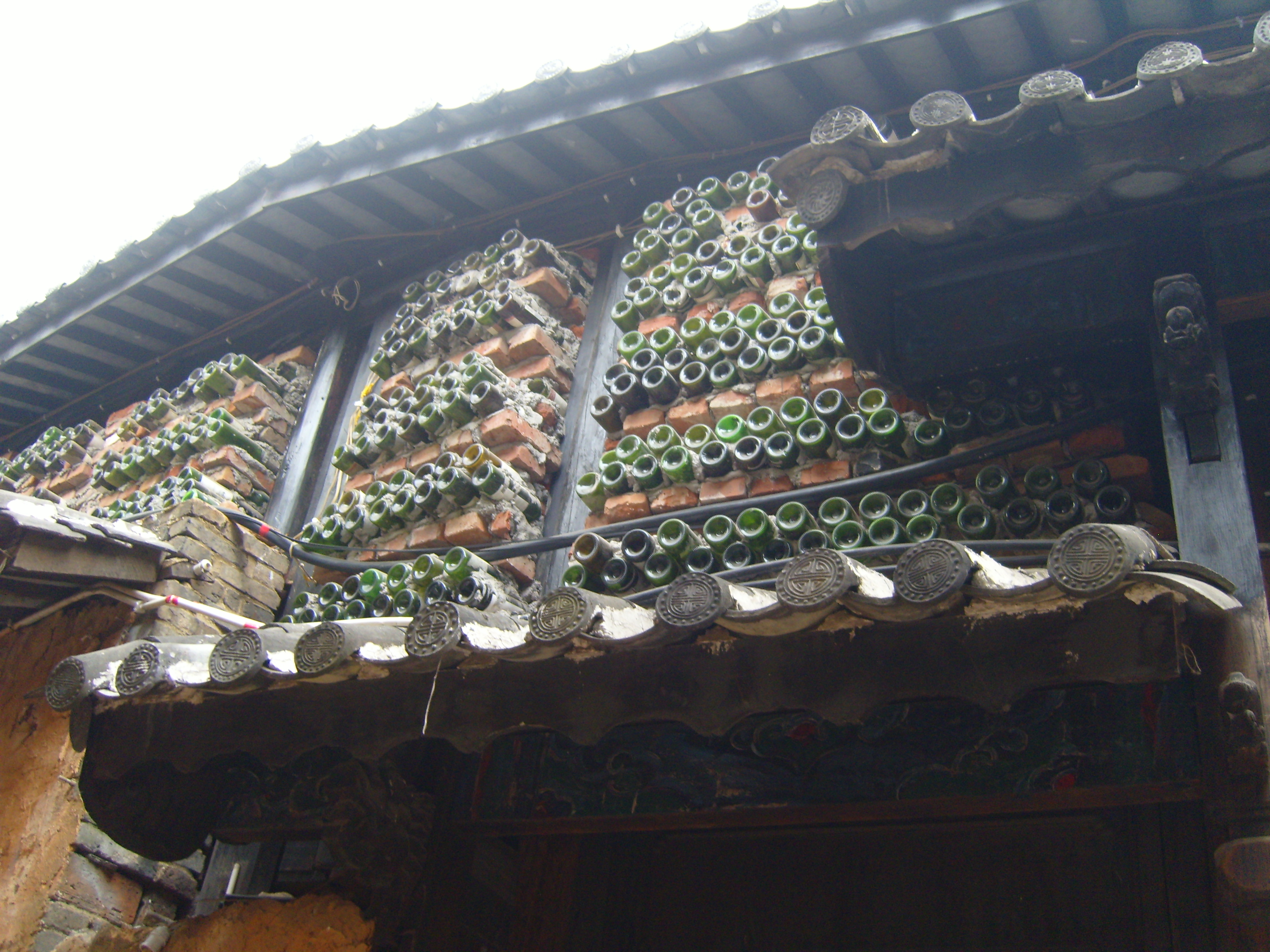
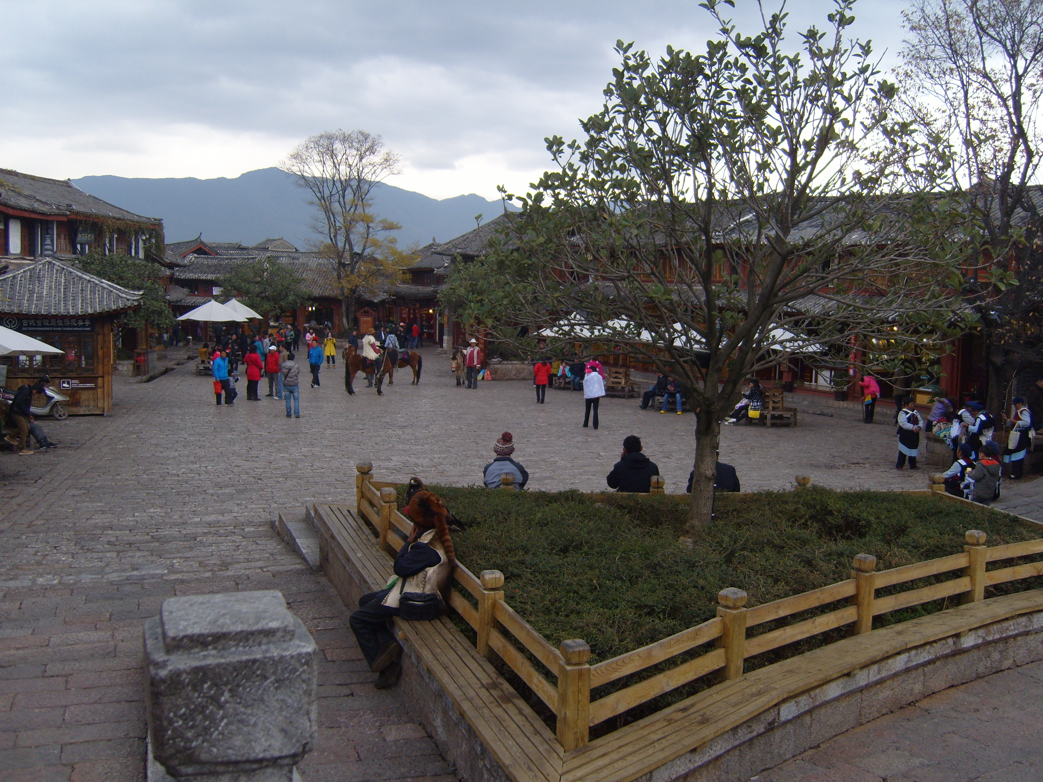
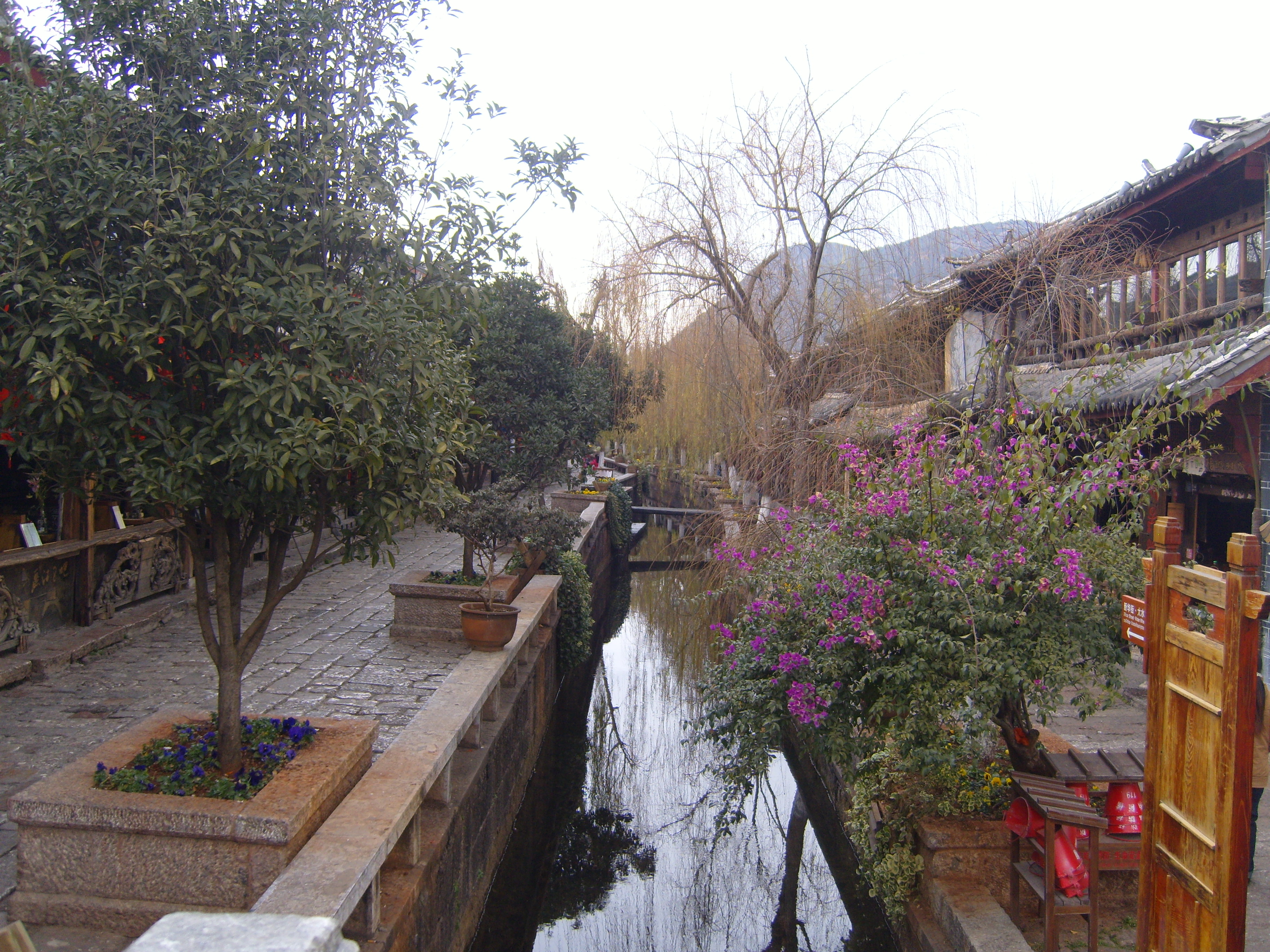
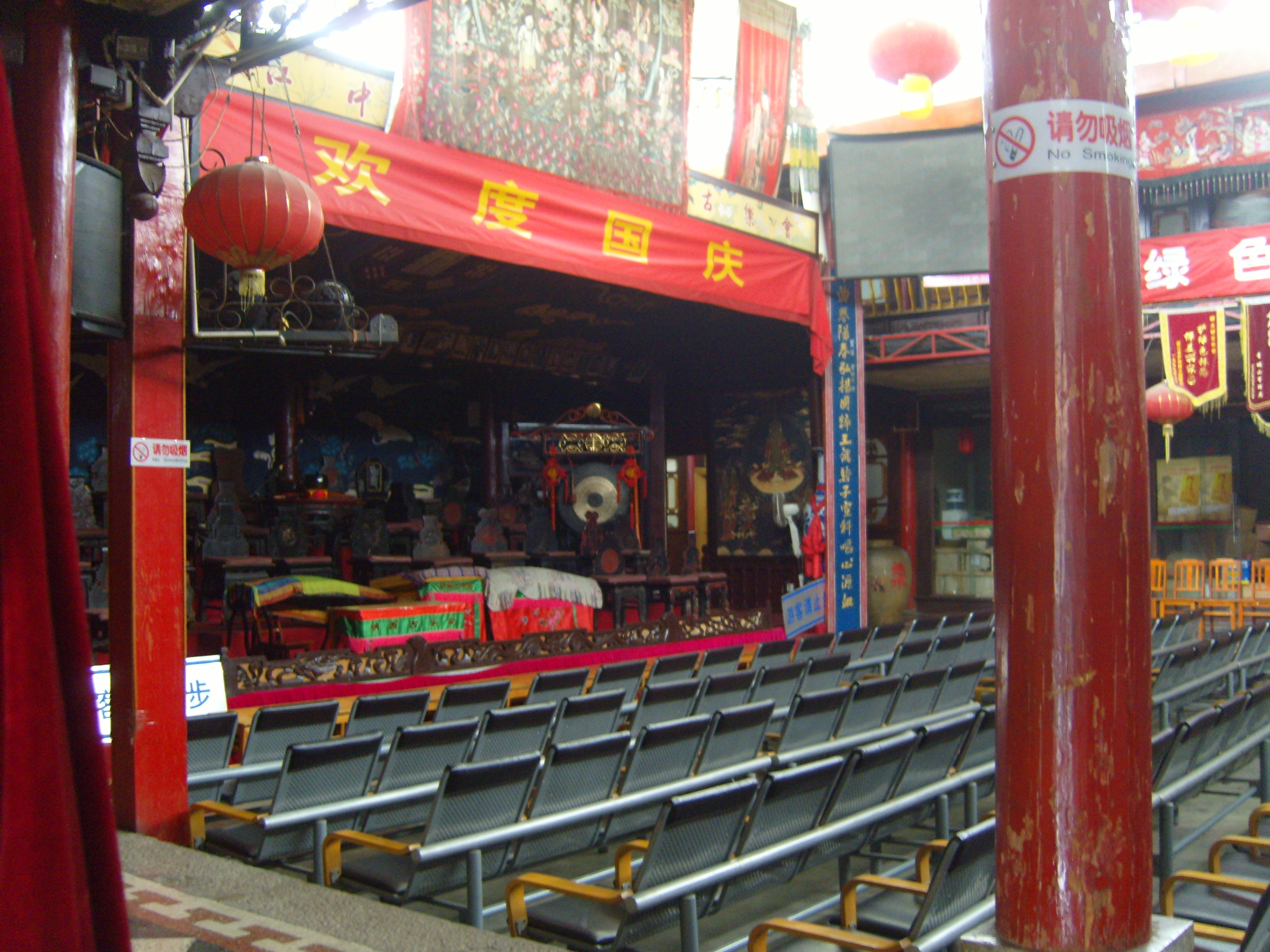
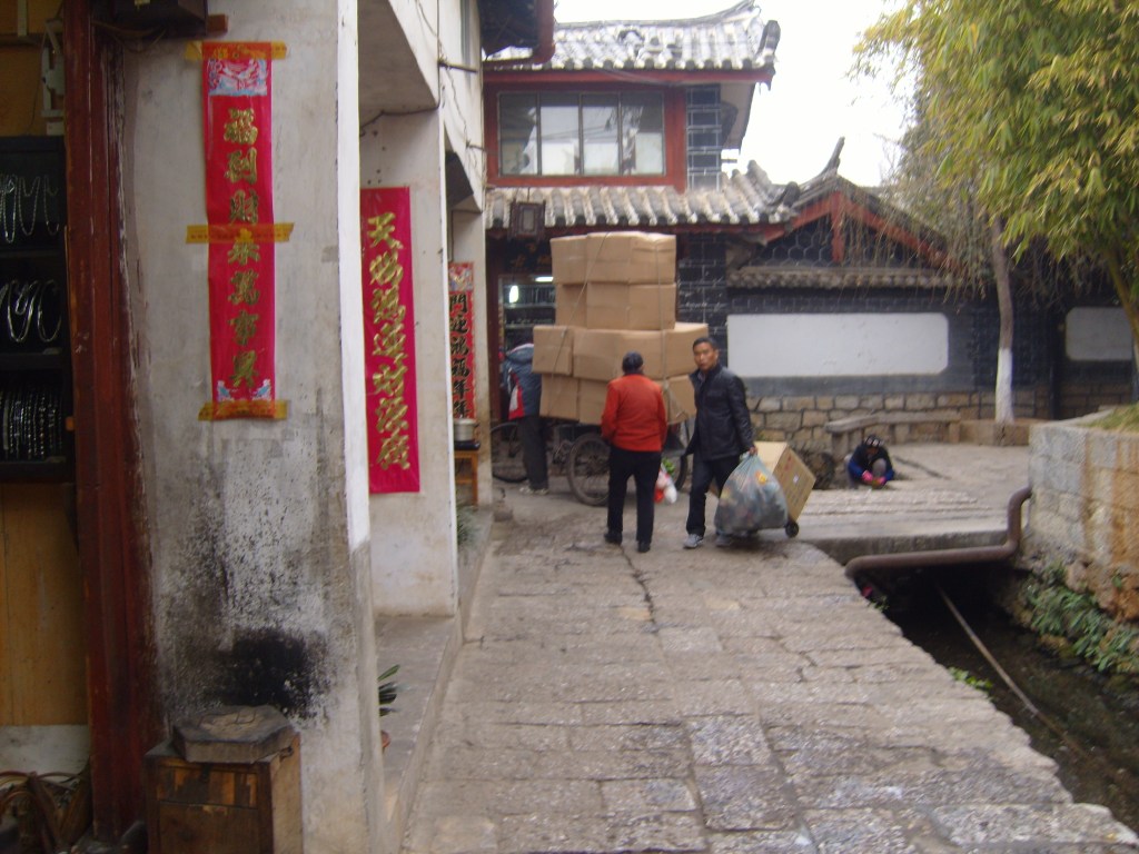
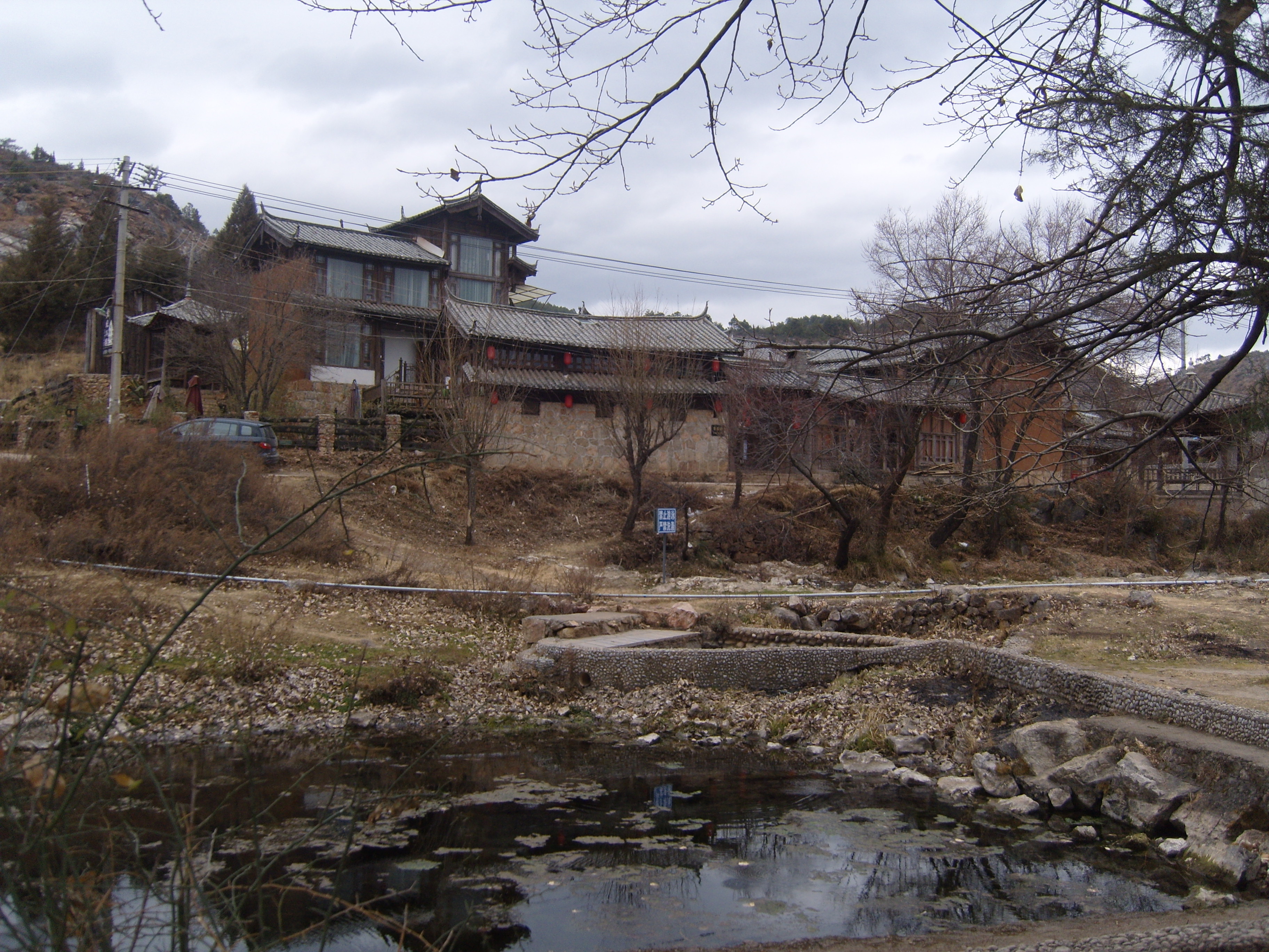
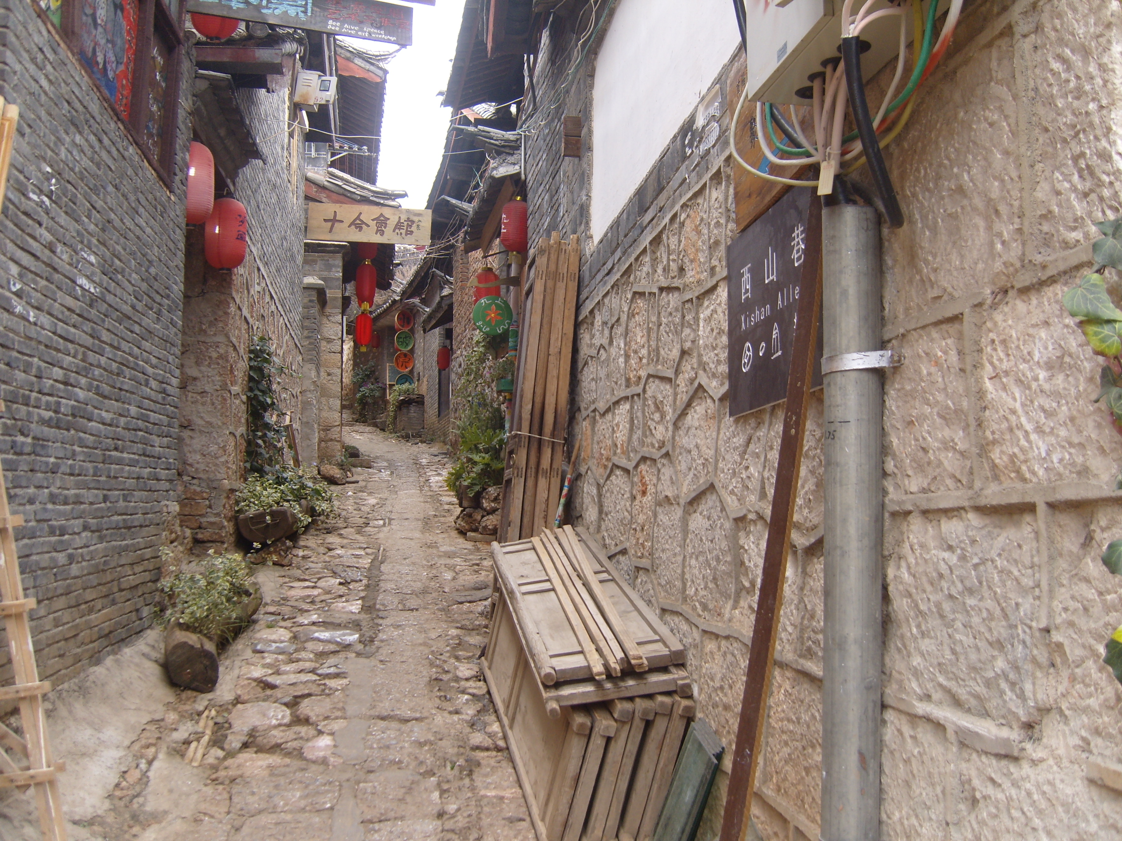
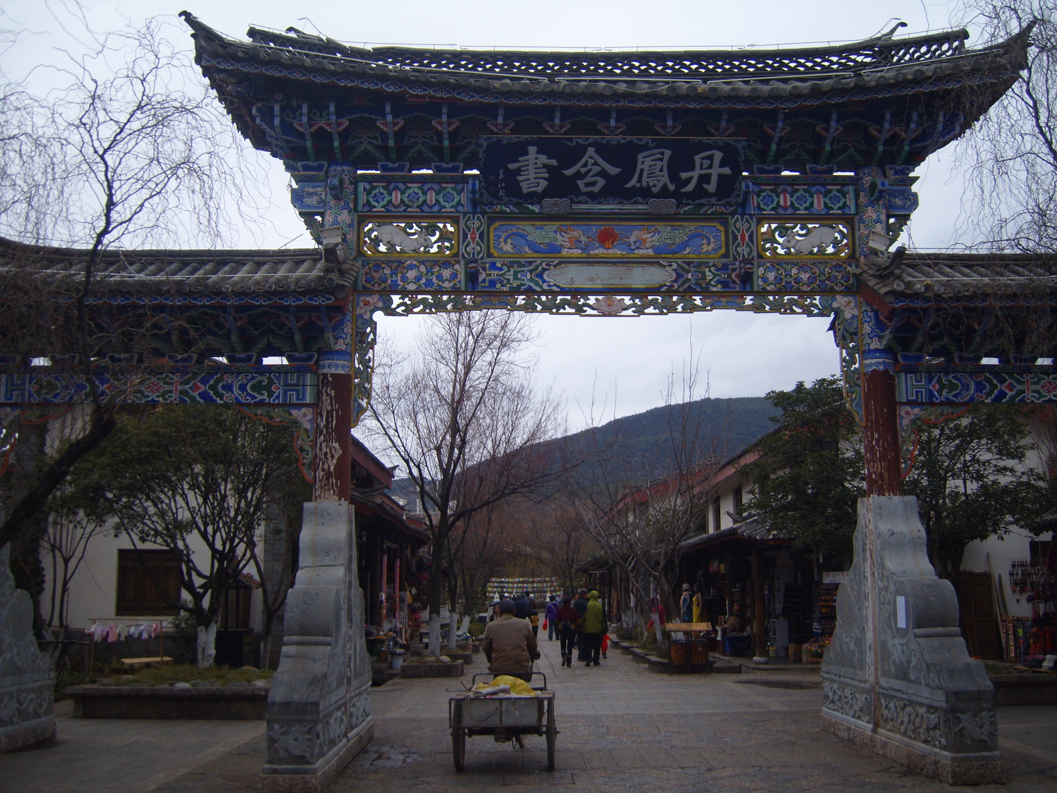
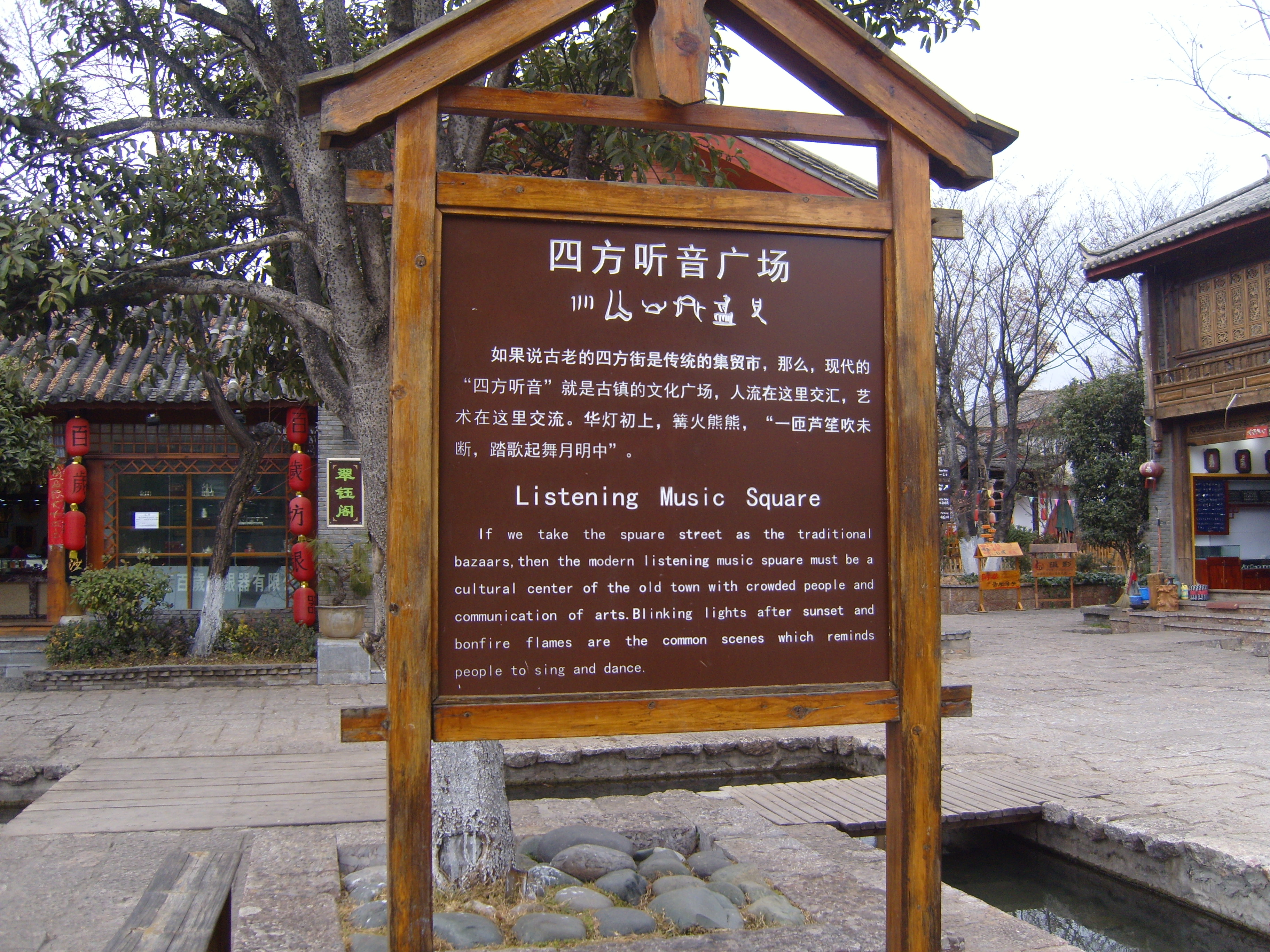
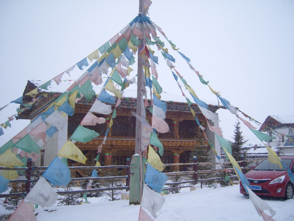
Lijiang is famous for its old city (sadly touristy – mostly Chinese tourists, of course), and markets, although the old food market is pretty authentic and used by locals to buy food. Imagine.
An interesting point to note about Lijiang is that the Naxi (Nashi, Nakhi) people, who own most of the land and buildings in the centre of the city, have moved out and rent out same to Han Chinese, who milk the tourists.
I spent most of two days in this area, slipping and sliding, falling down and getting up. Icy cobbles are not great to walk upon. In the pictures, anything that looks wet is actually coated in ice. At least it kept the number of tourists down.
Various ‘nationalities’ – though mostly Naxi) perform what I can only think of as “tribal dances” in various squares of the old town. Some of them are pretty boring – a sort of slow shuffling from foot to foot. I suppose it keeps them warm(er).
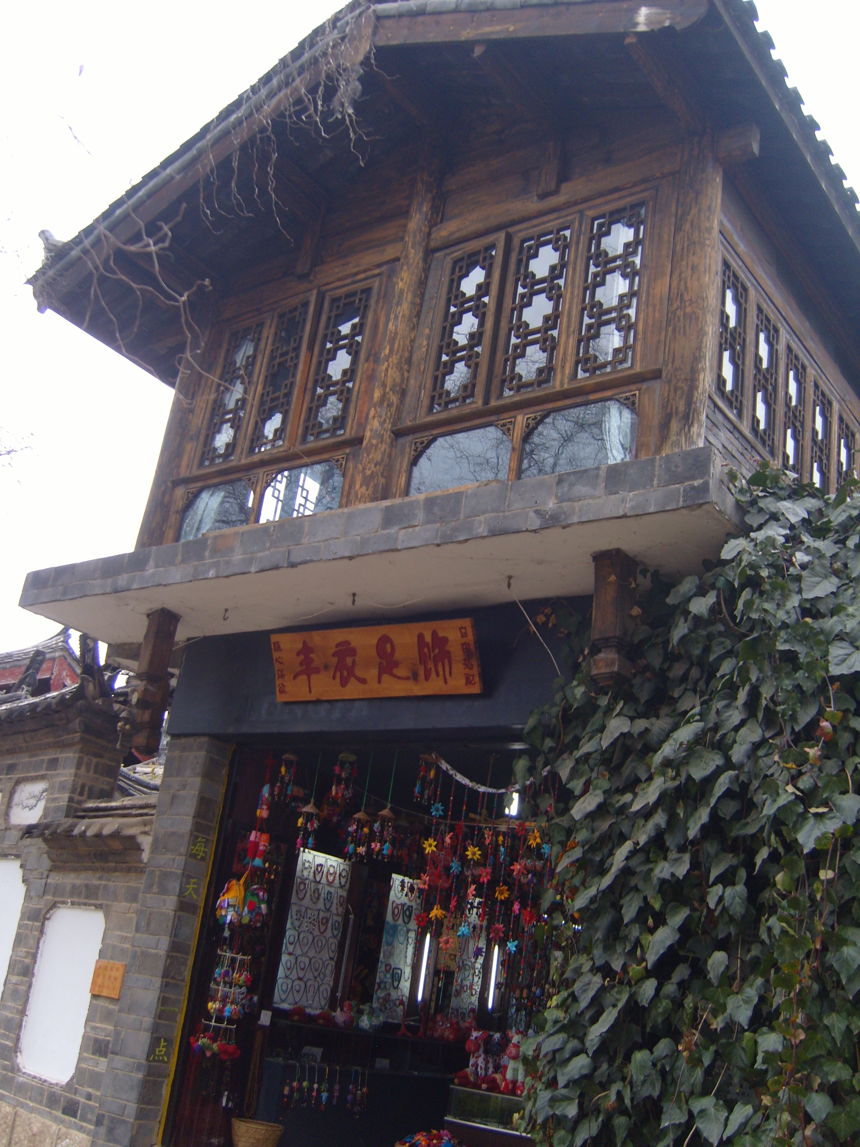
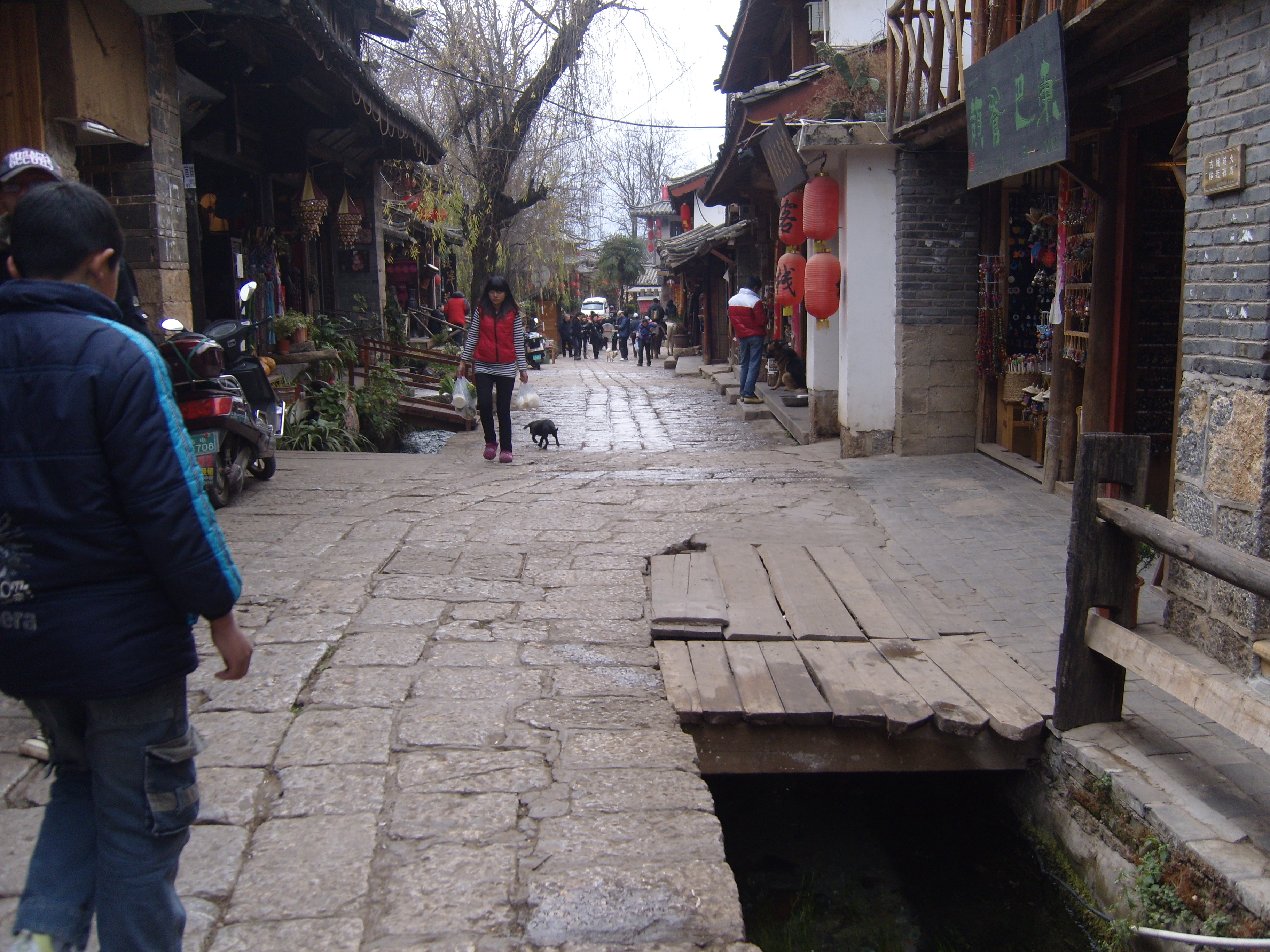
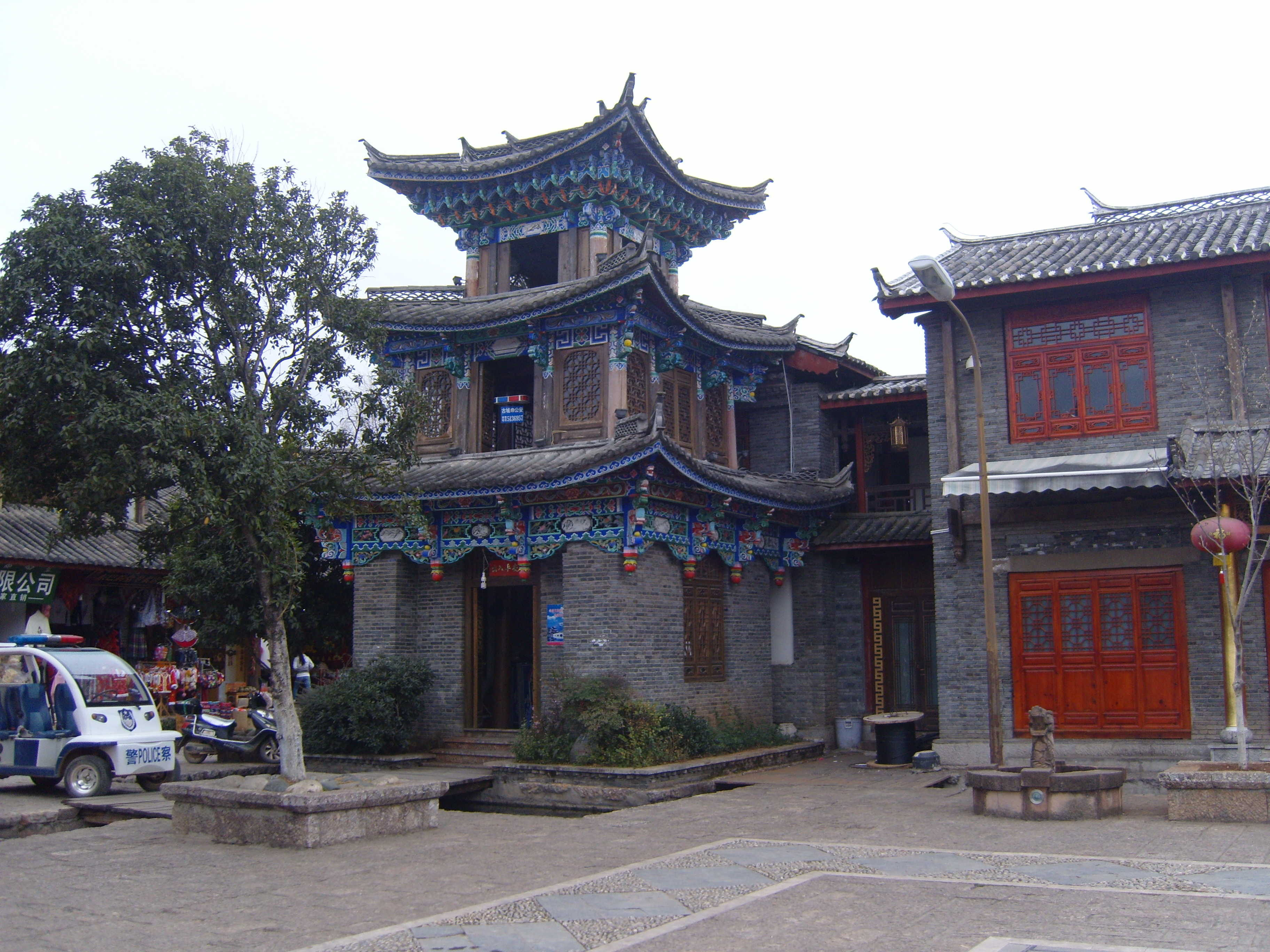
The old town


The Food Market
The shopping basket on the back is typical and traditional to the Naxi people.


Day 2 in the old town; not quite so slippery underfoot this morning, although there were some treacherous patches for anyone not looking down (e.g. me).


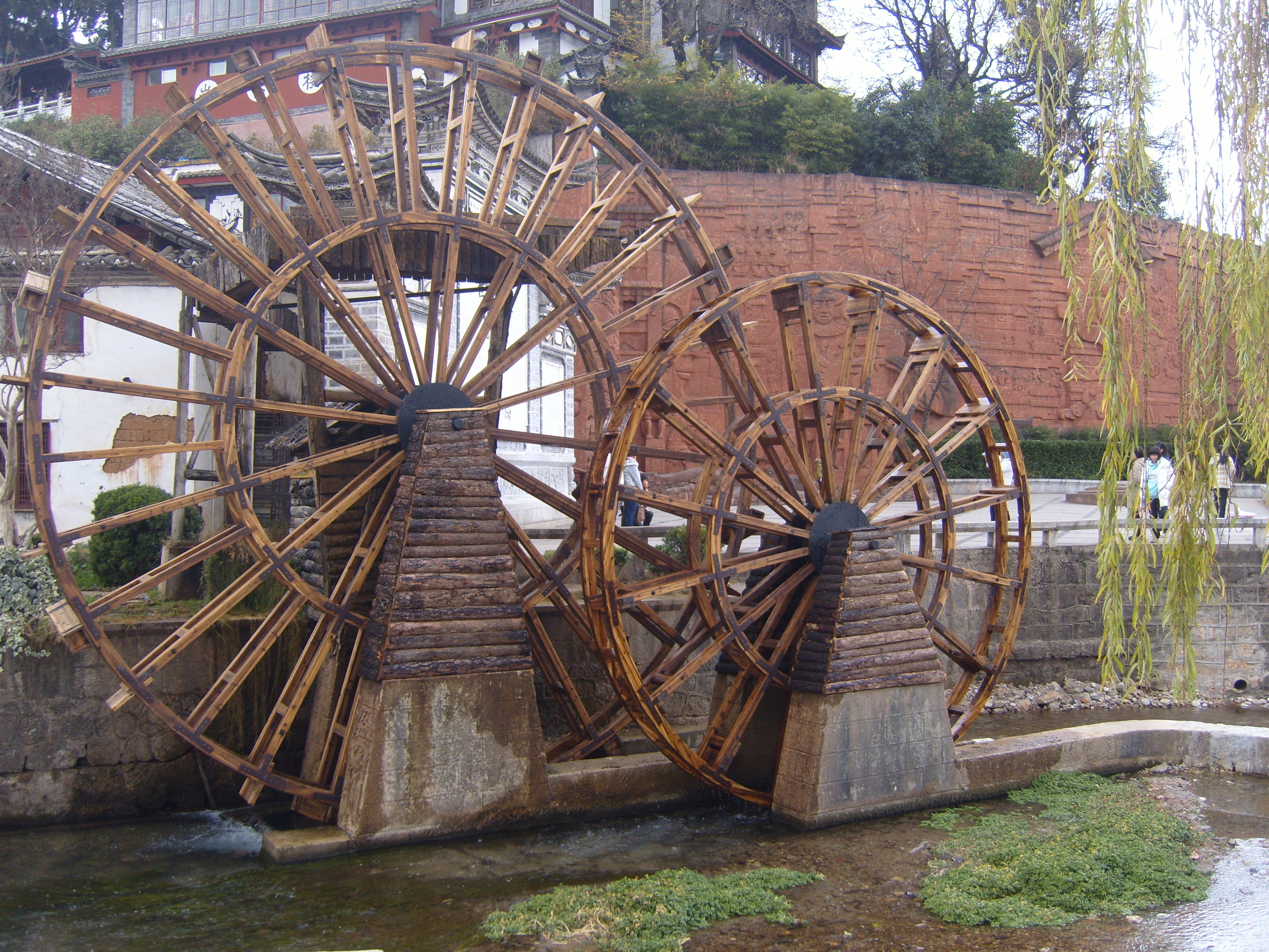
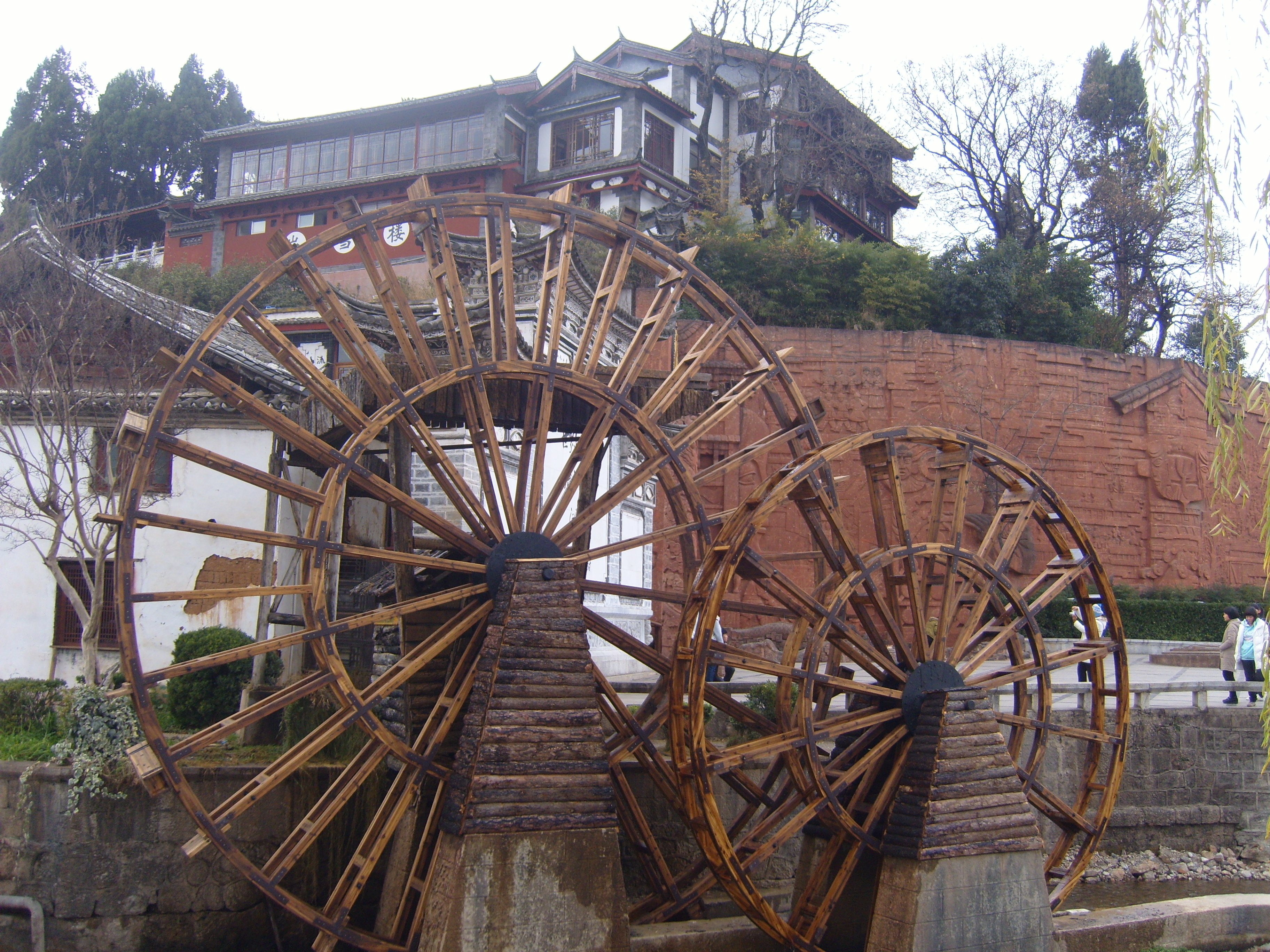
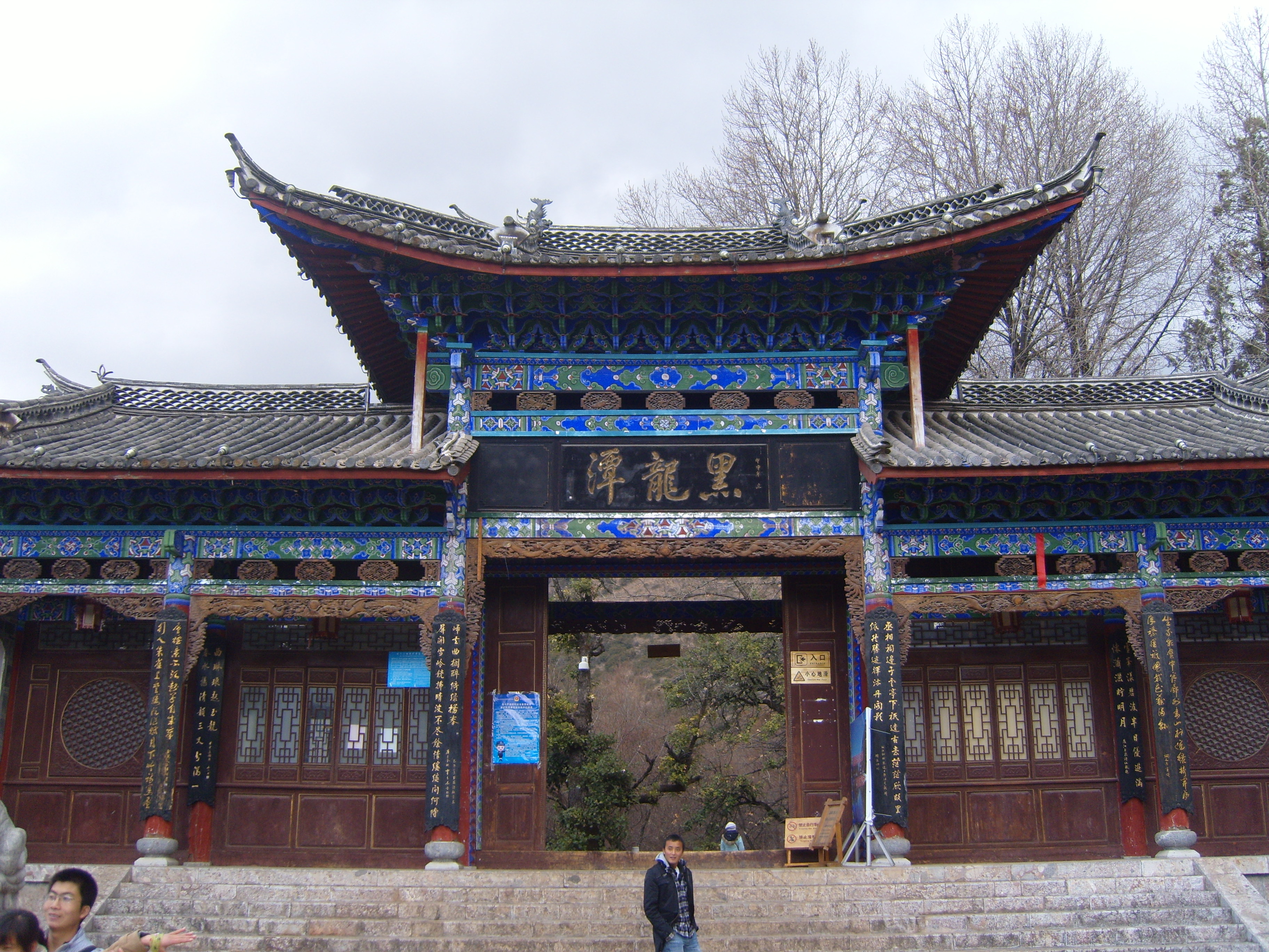
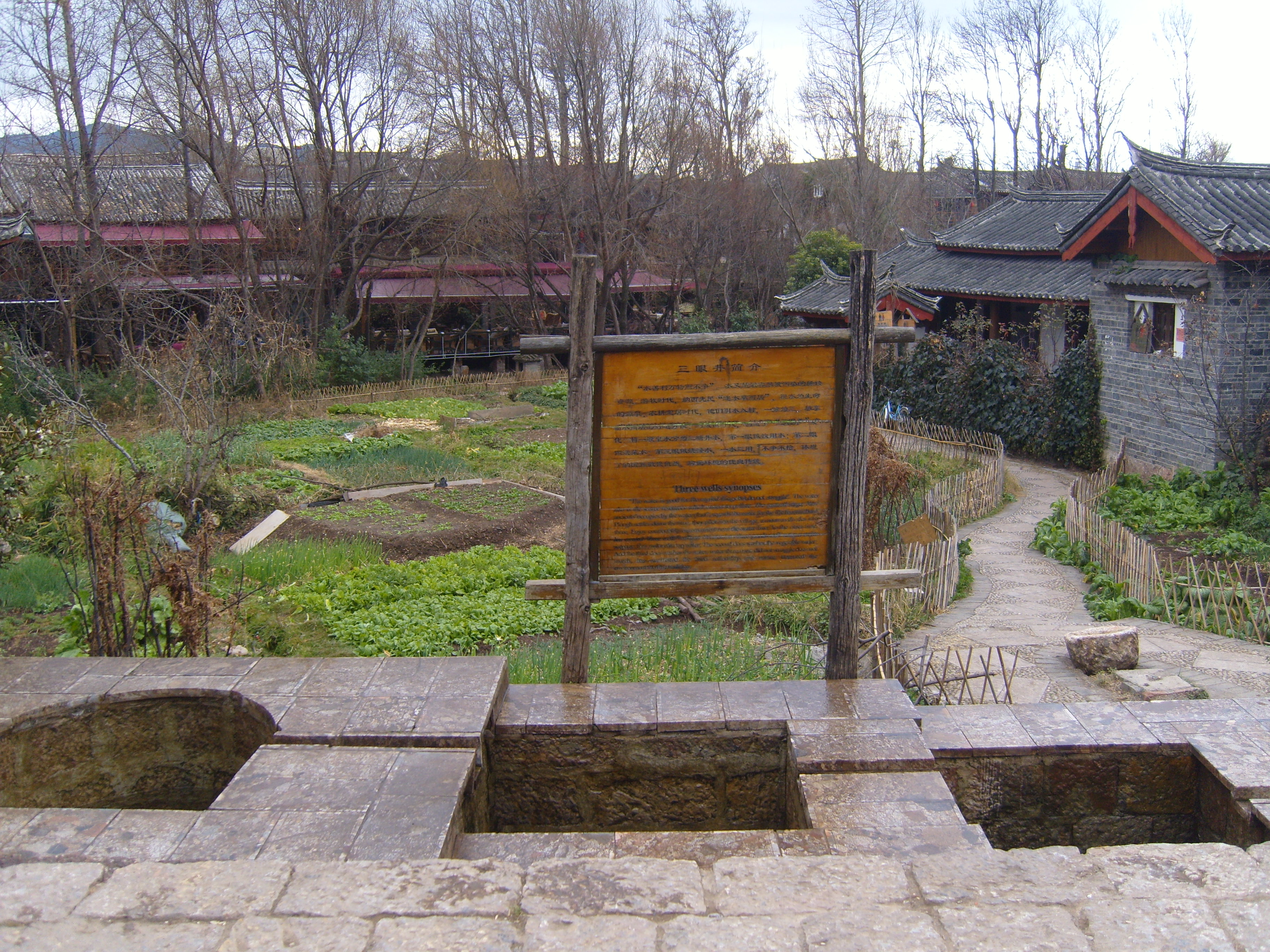
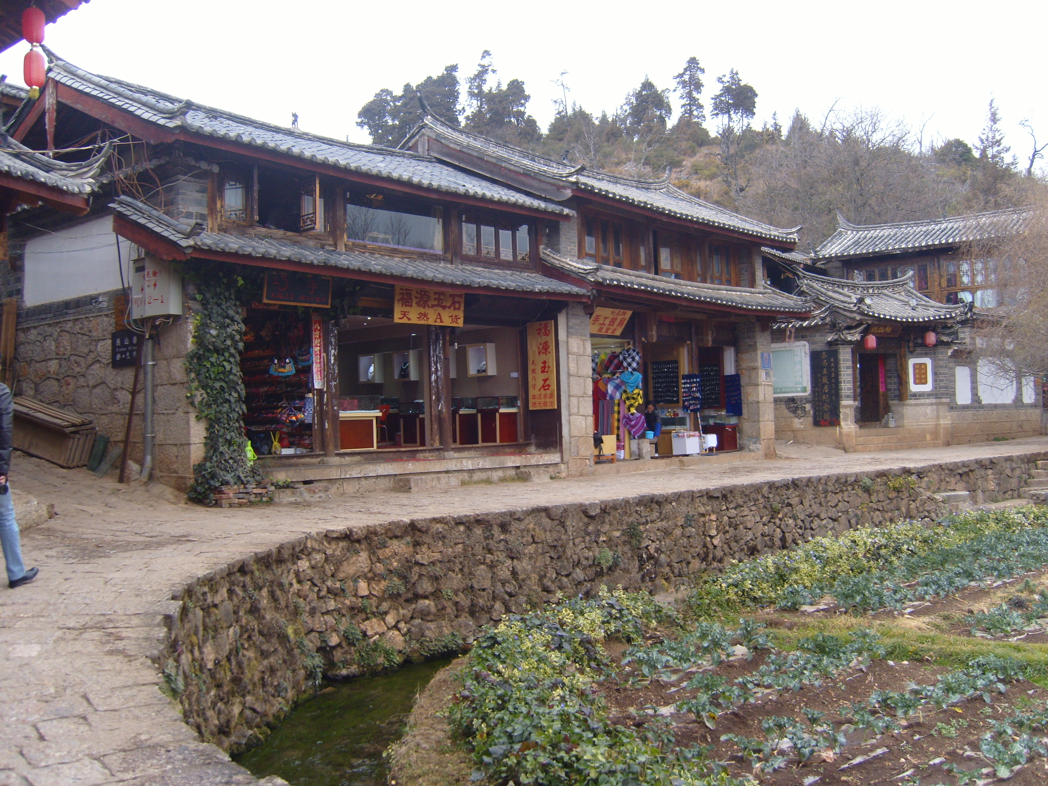
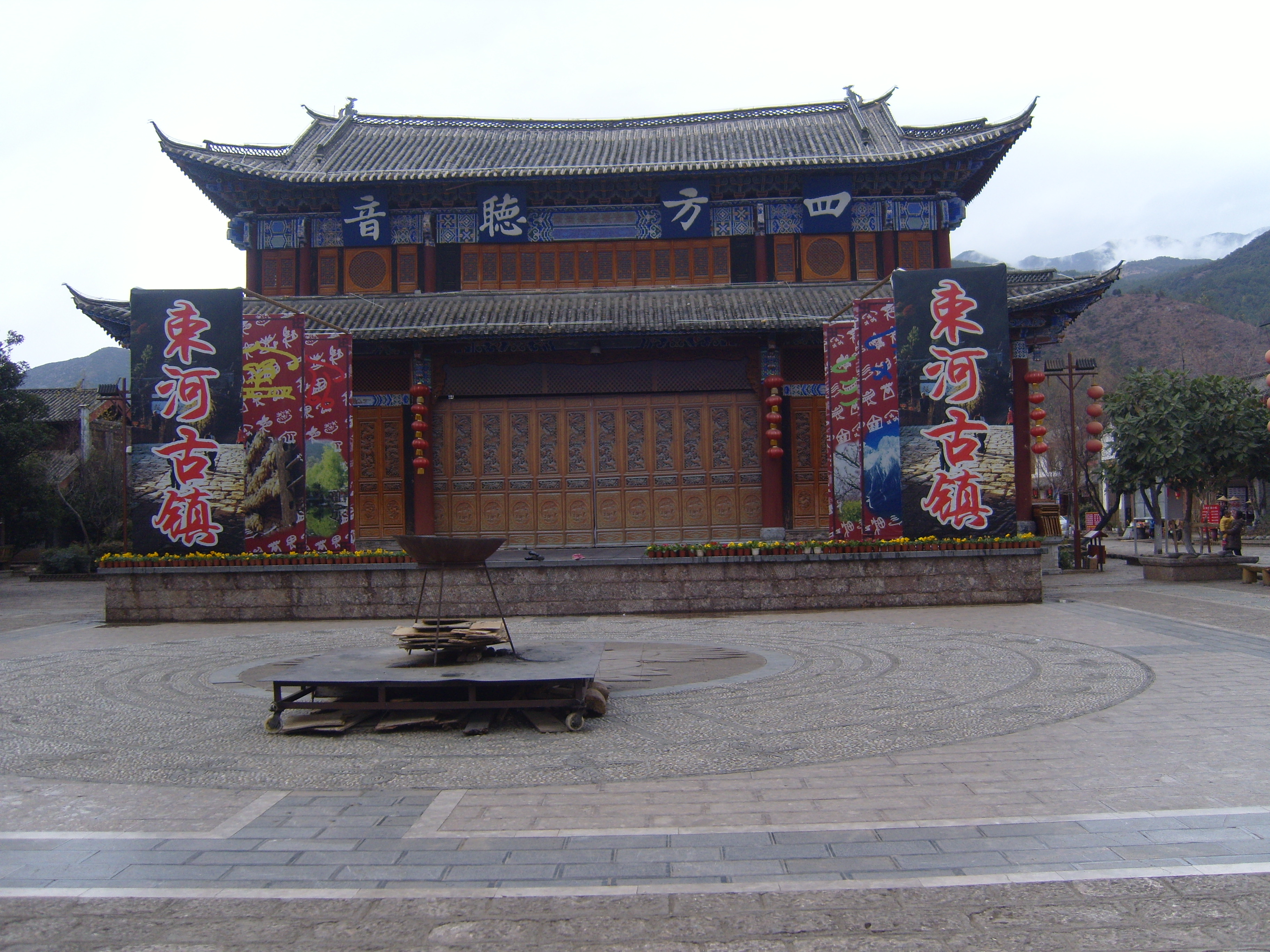
There are a lot other places of interest in and around Lijiang, for example, Black Dragon Pool (a lake within the city), Dong Ba Valley (a large and very flat valley), and LaShiHai (a lake outside the city). I hired a local student as a tour guide for the day (well, afternoon) to visit these. The following day, we went to Shu He ancient town (it took a while to get there, although it’s not very far, and there seemed to be a lot of Australian and American backpackers about, so we didn’t hang around for long).
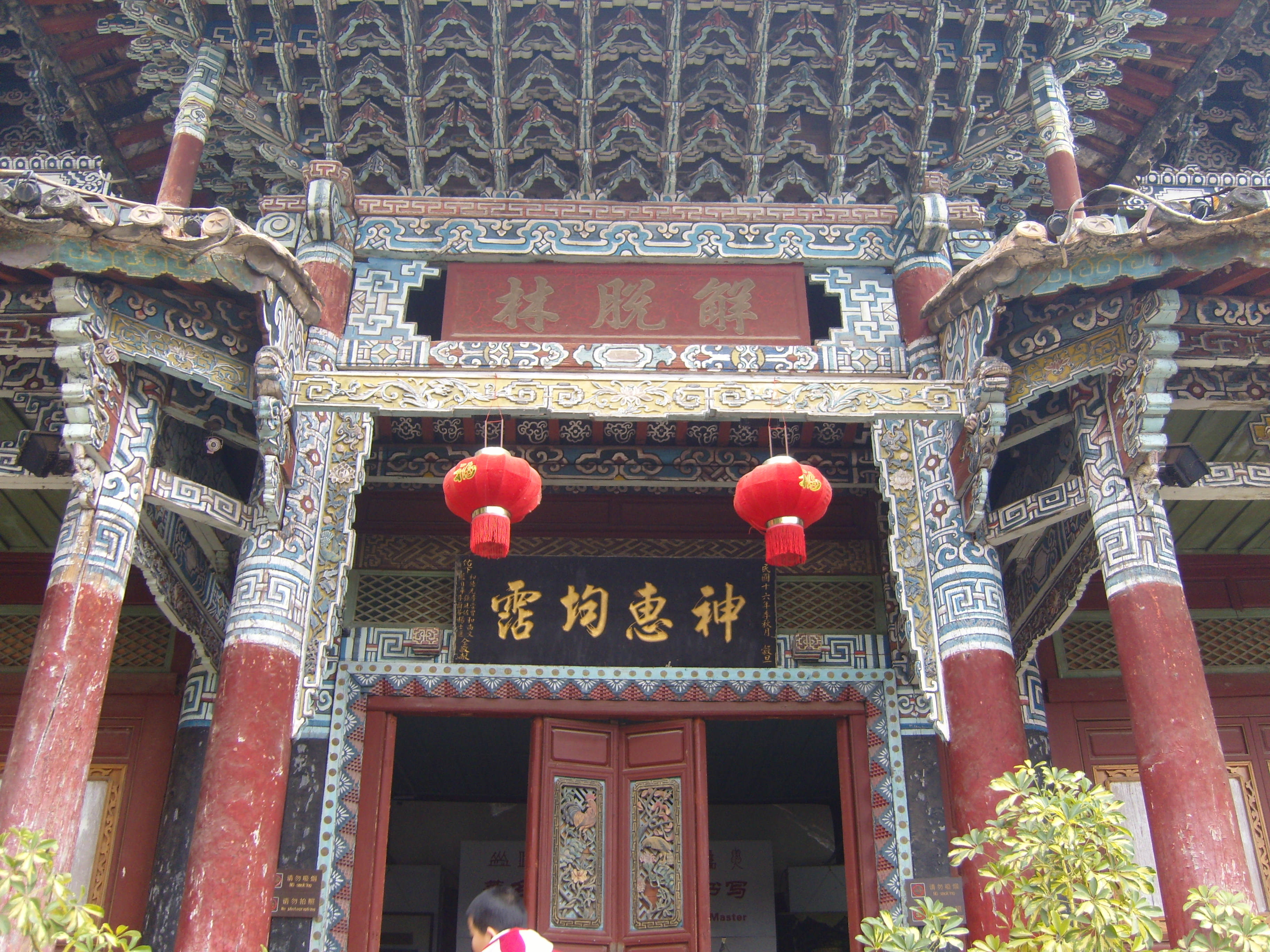
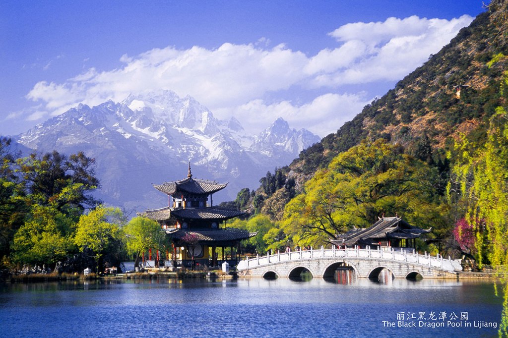
Black Dragon Pool
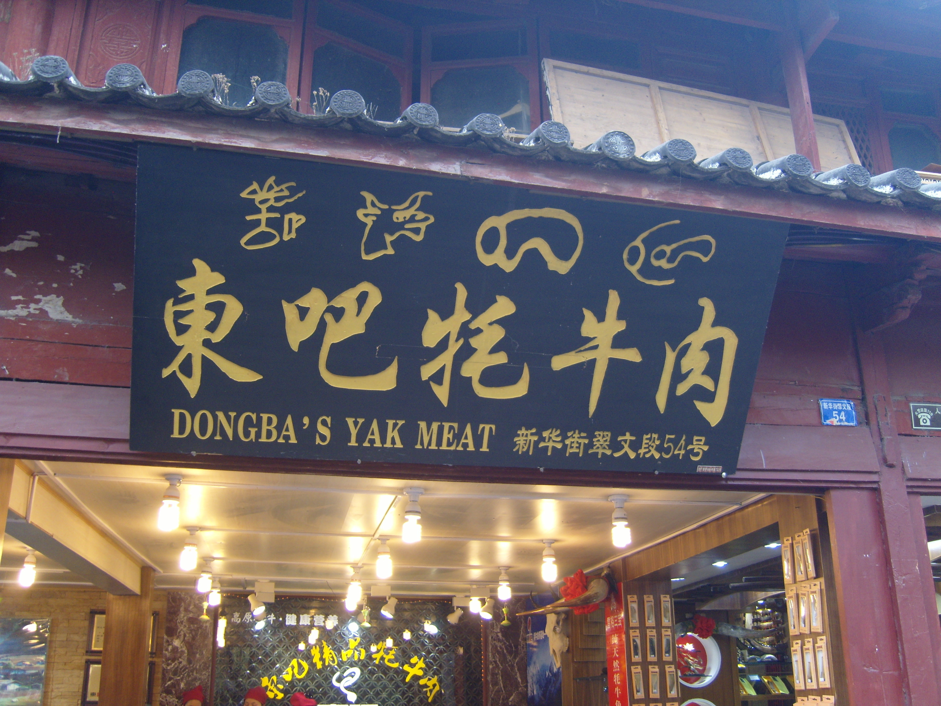
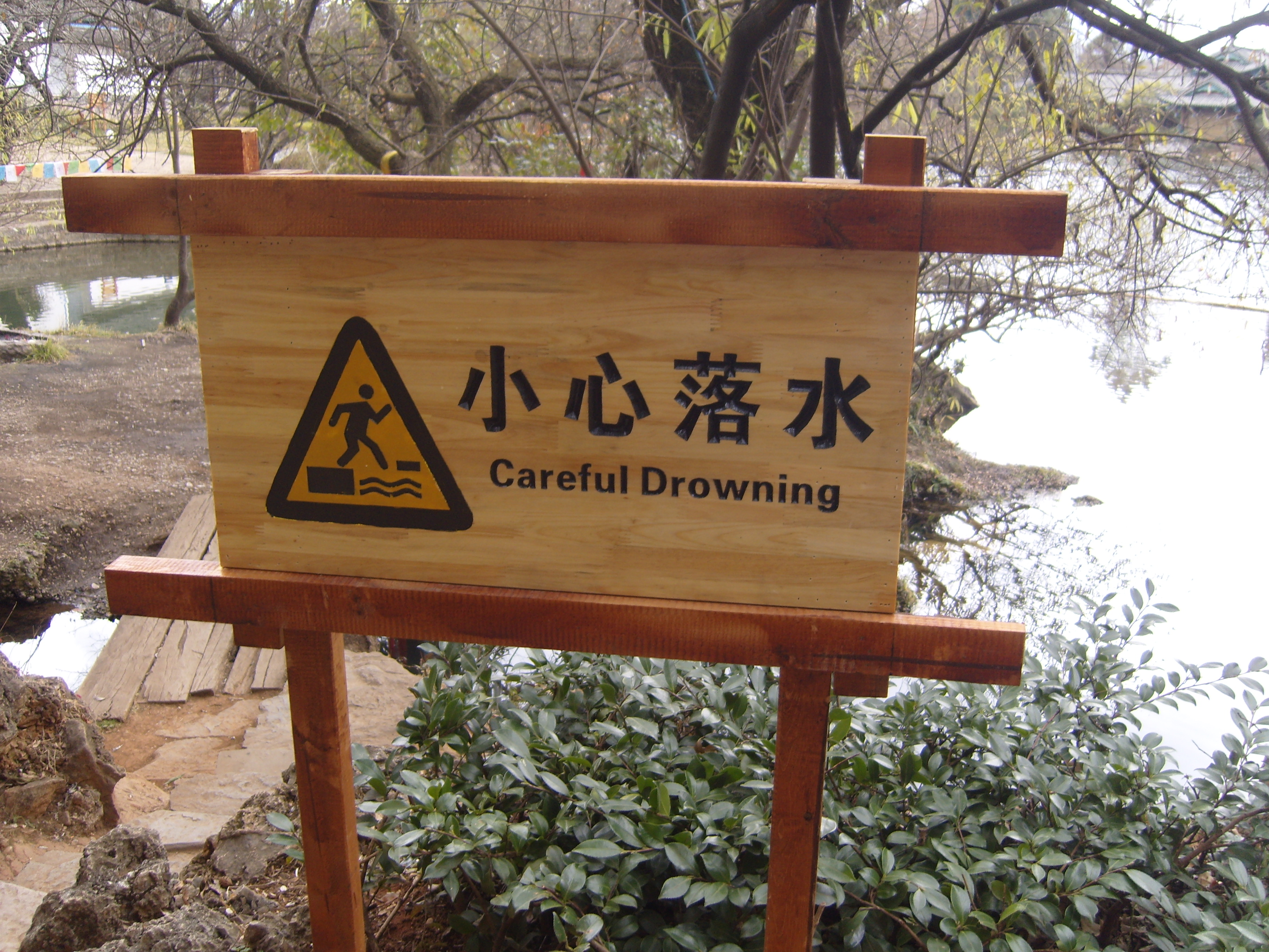
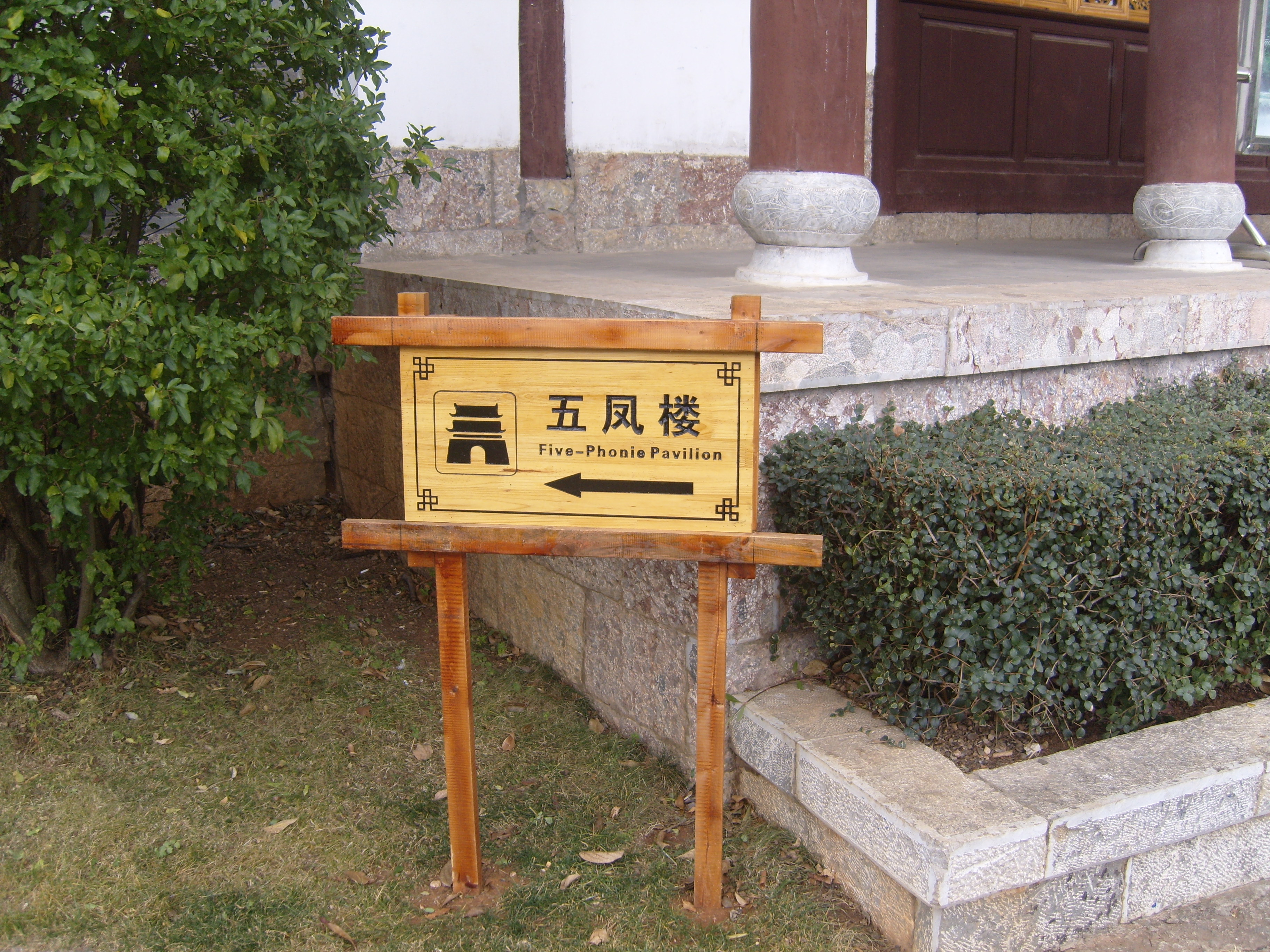
Included here as a bonus were some of my favourite bits of Chinglish.


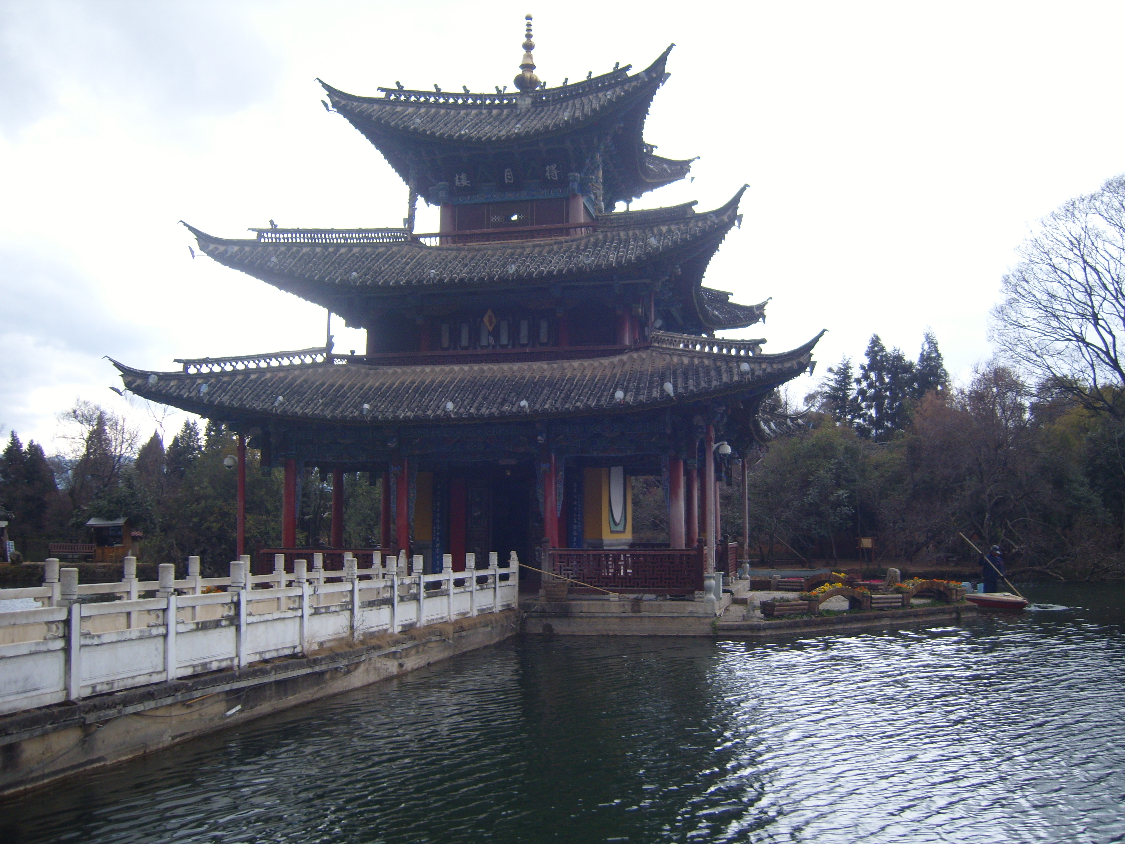
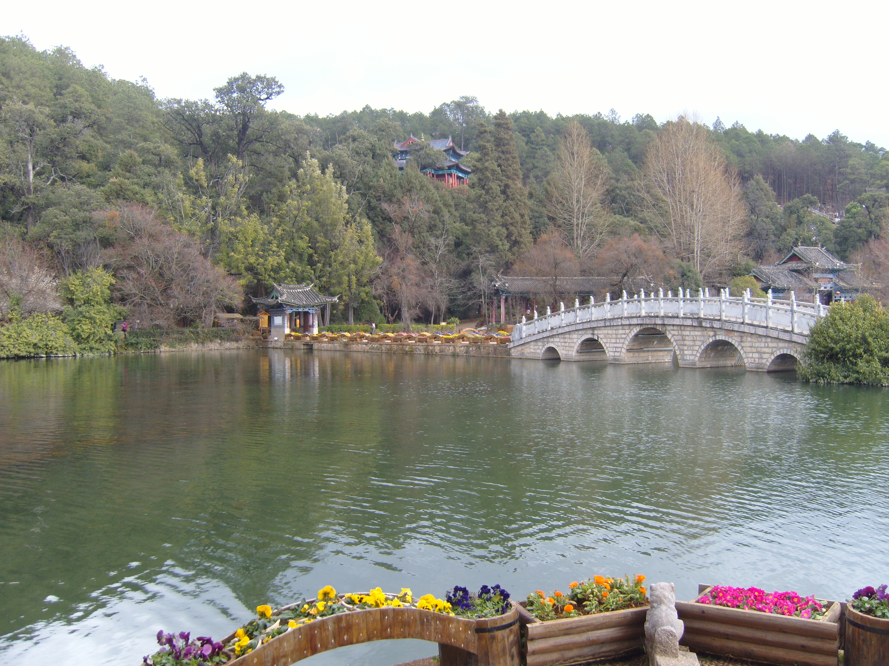
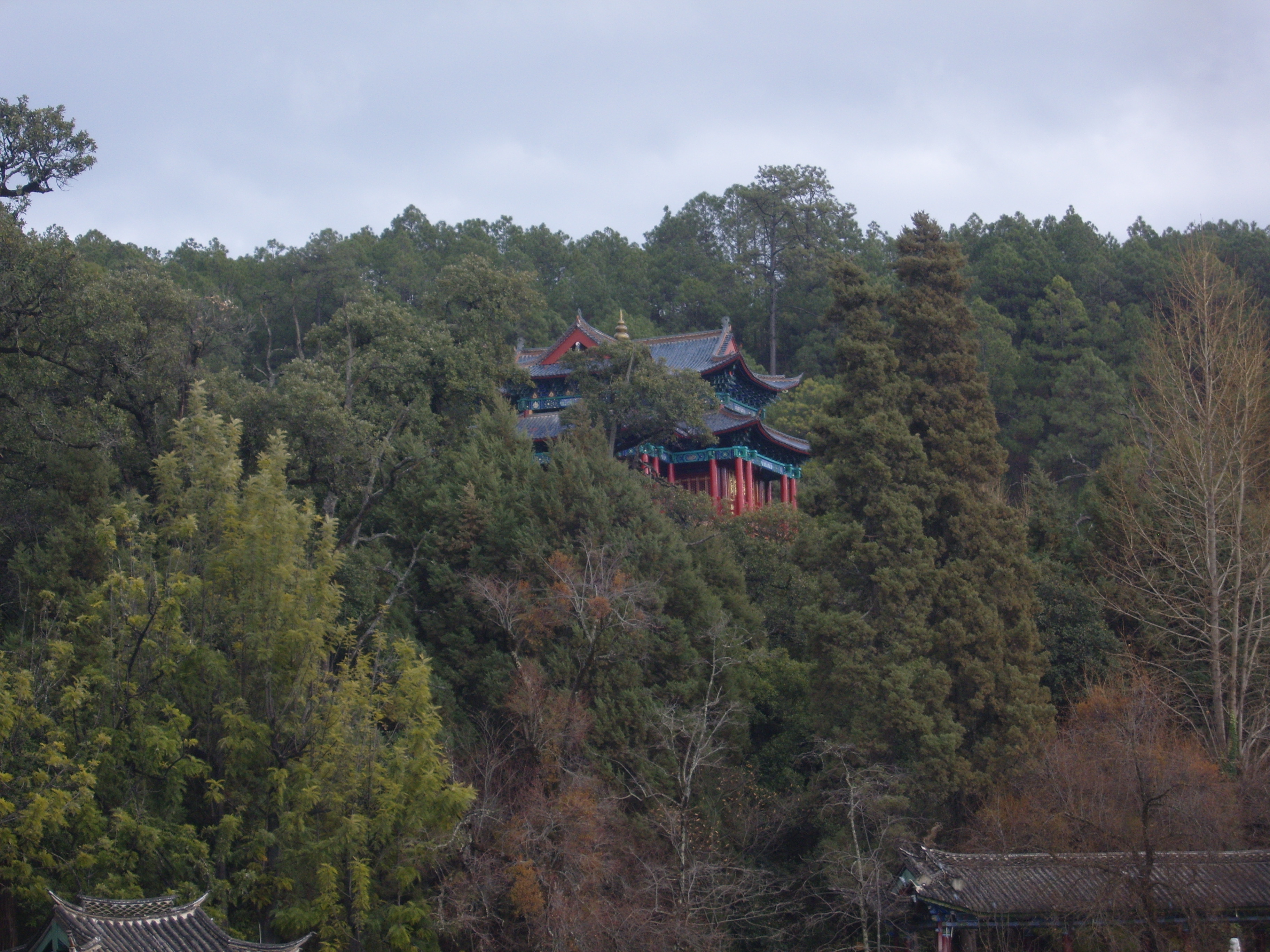

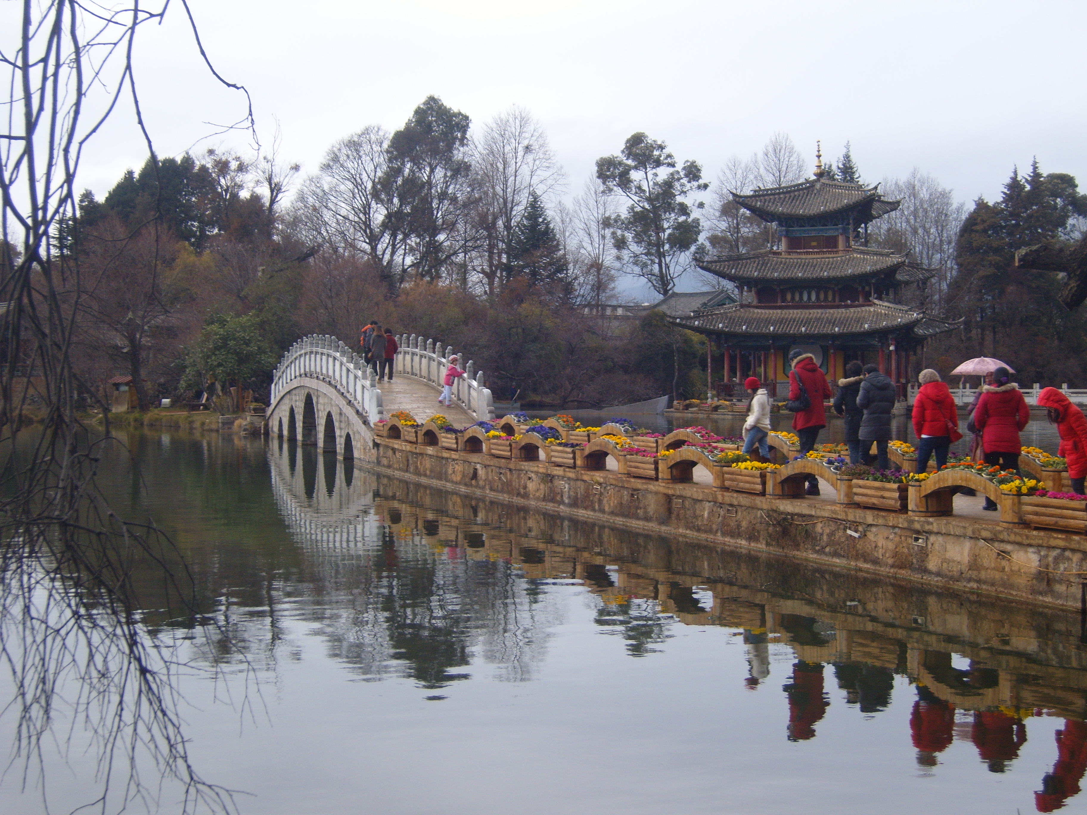
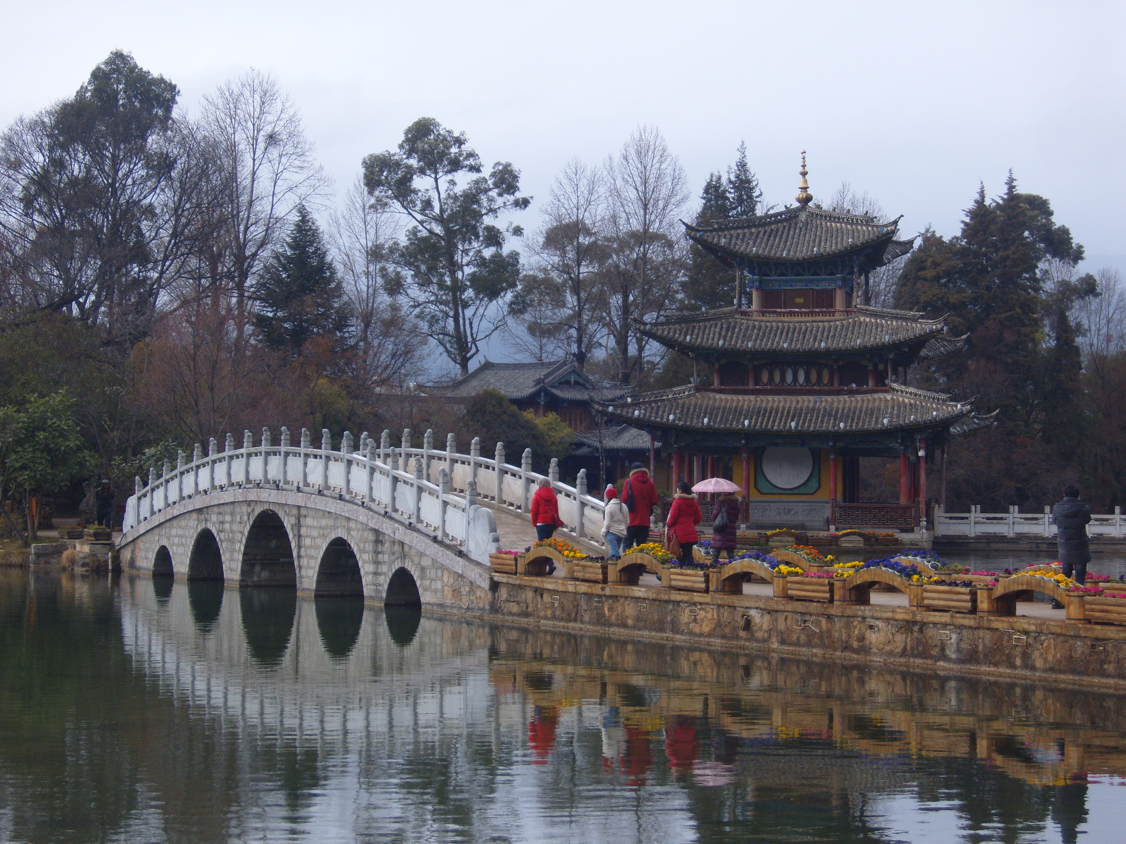


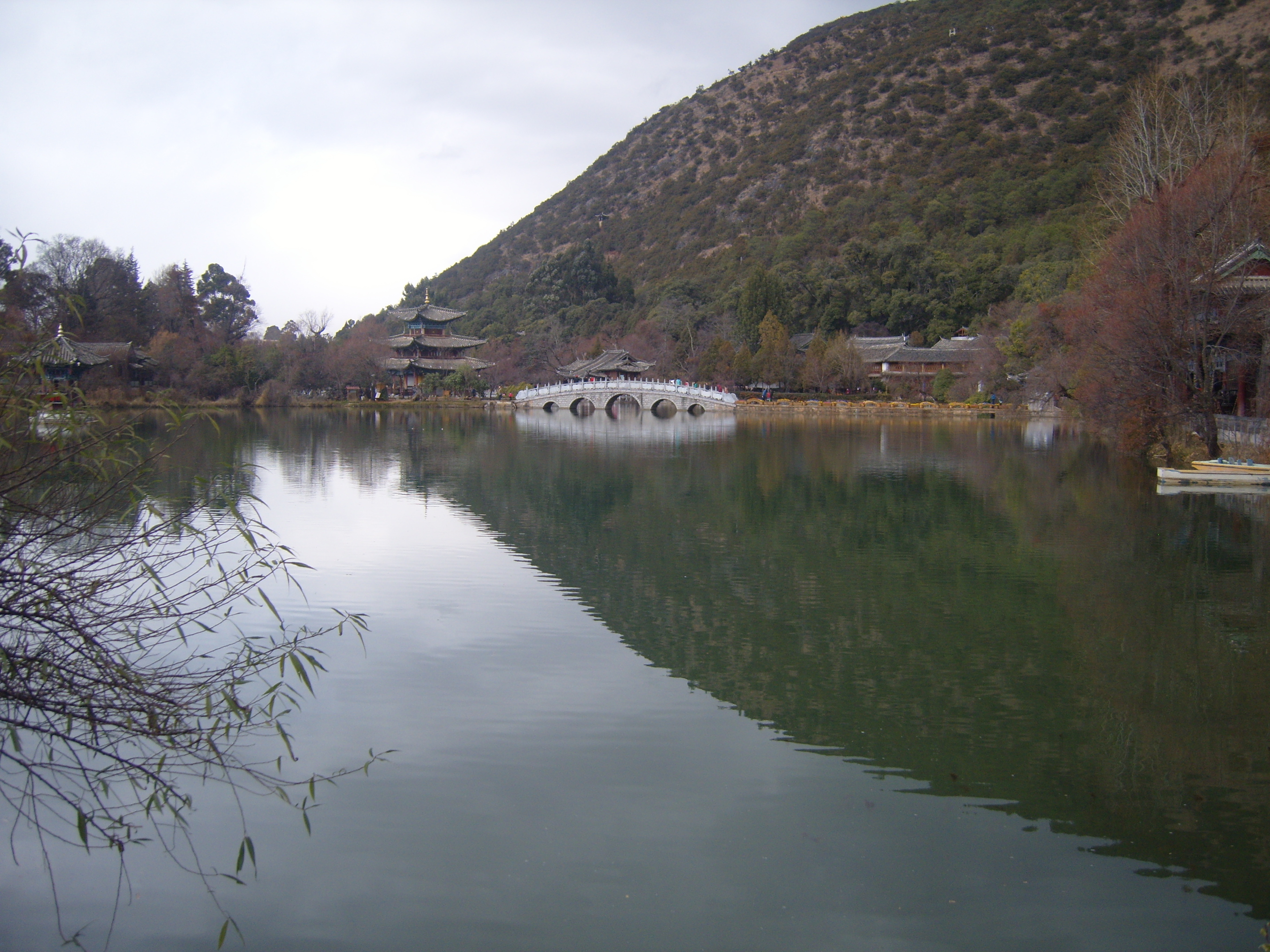


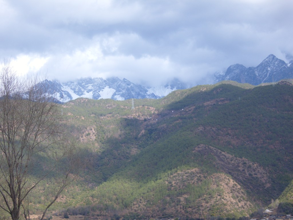
As the picture below shows, it’s a lot more impressive on a clear sunny day. In the background are the Jade Dragon Snow Mountains (玉龙雪山), a small group of peaks about 30 kilometers north of Lijiang.
DongBa Valley
This is a rift valley and home to the Naxi people, whose hieroglyphic-like script and ancient culture is quite different from Chinese. Dongba is also the name for the Naxi’s religion and its priests.


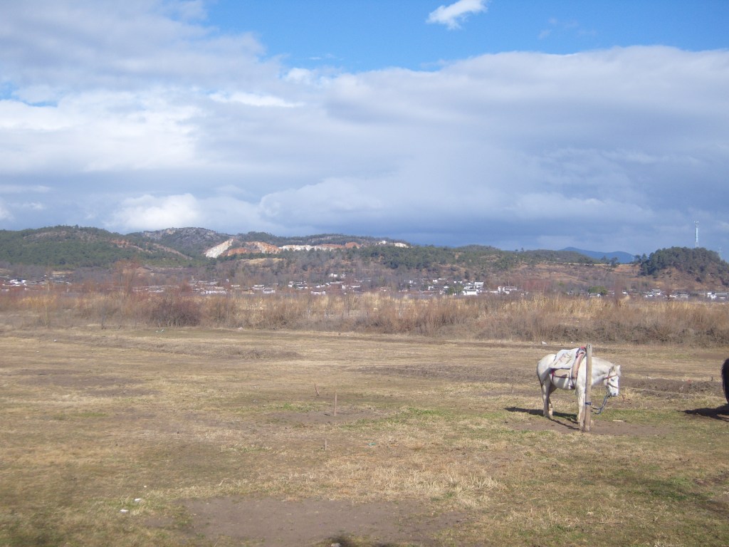
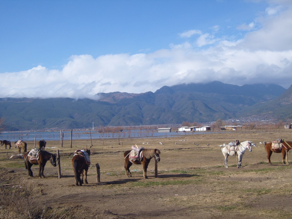
LaShiHai
Also known as Lashi Lake, Lashi Sea, and even Lashihai Lake. despite Hai meaning lake or sea, I didn’t actually get very close to the lake, because the (expensive!) horse-for-hire people were coming on too strong and it was too cold to walk.
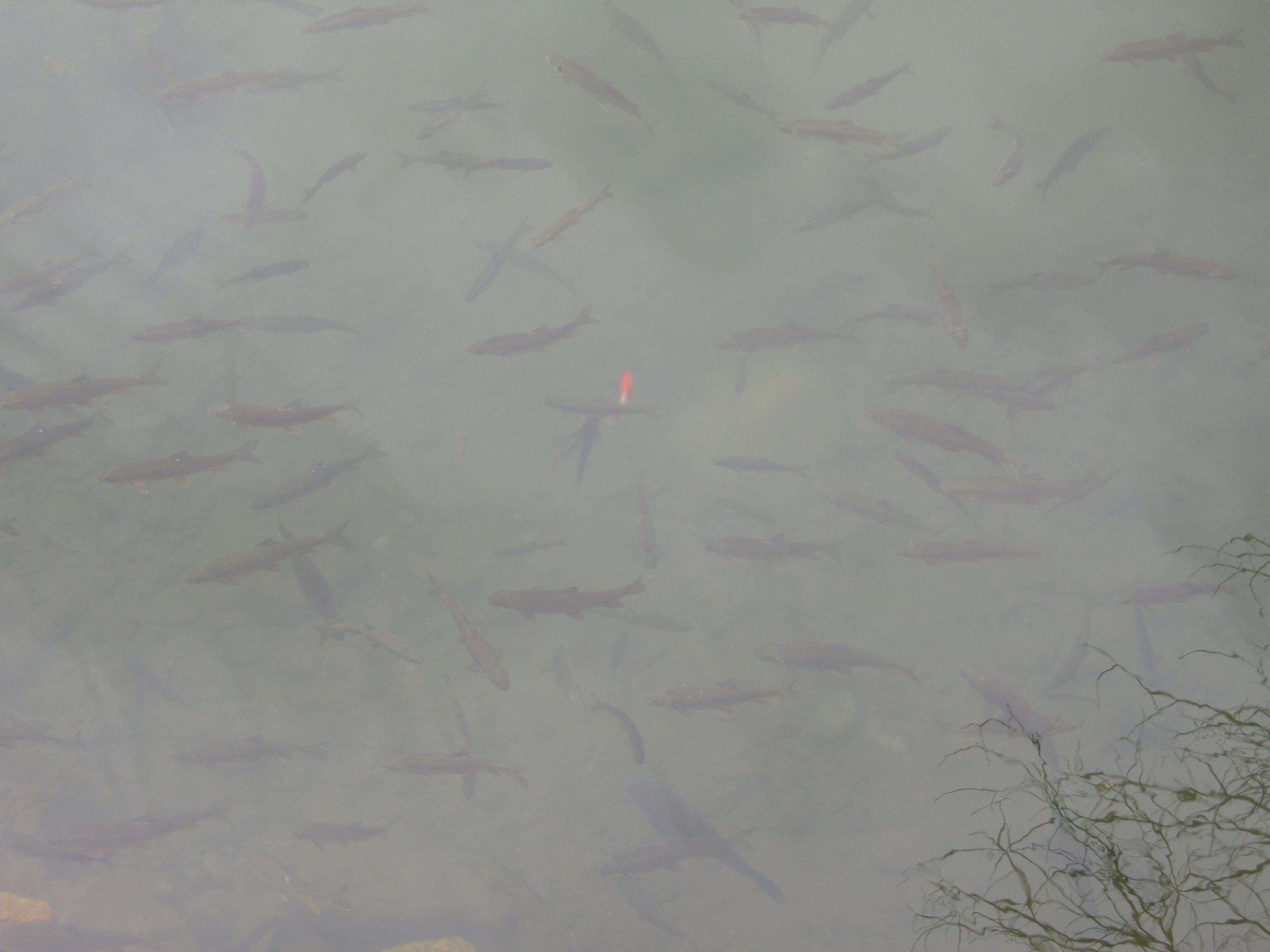
It is an important wetland and bird sanctuary, though suffering from increased tourism, yet there are plans to develop the lake further as a tourist attraction.


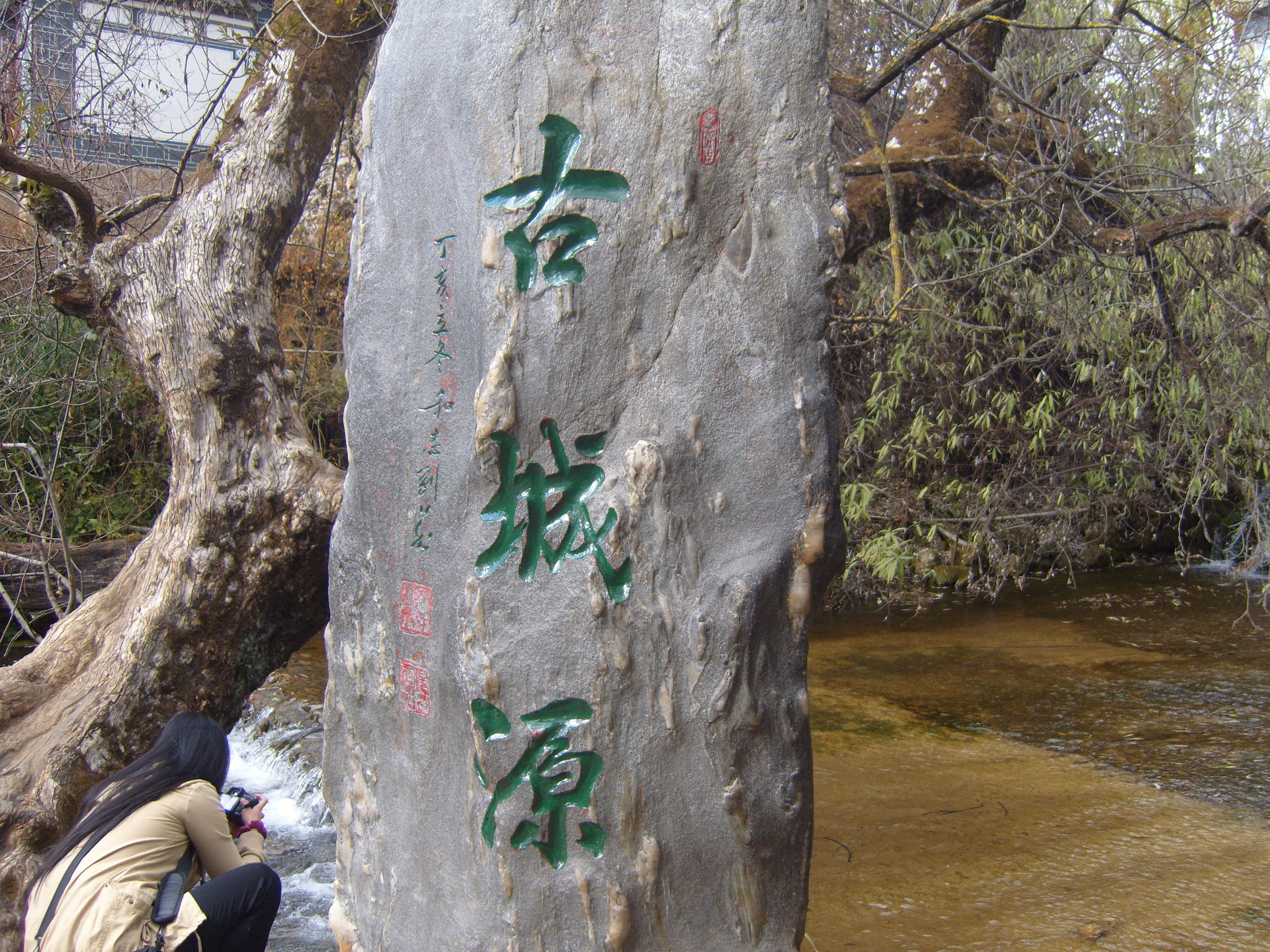
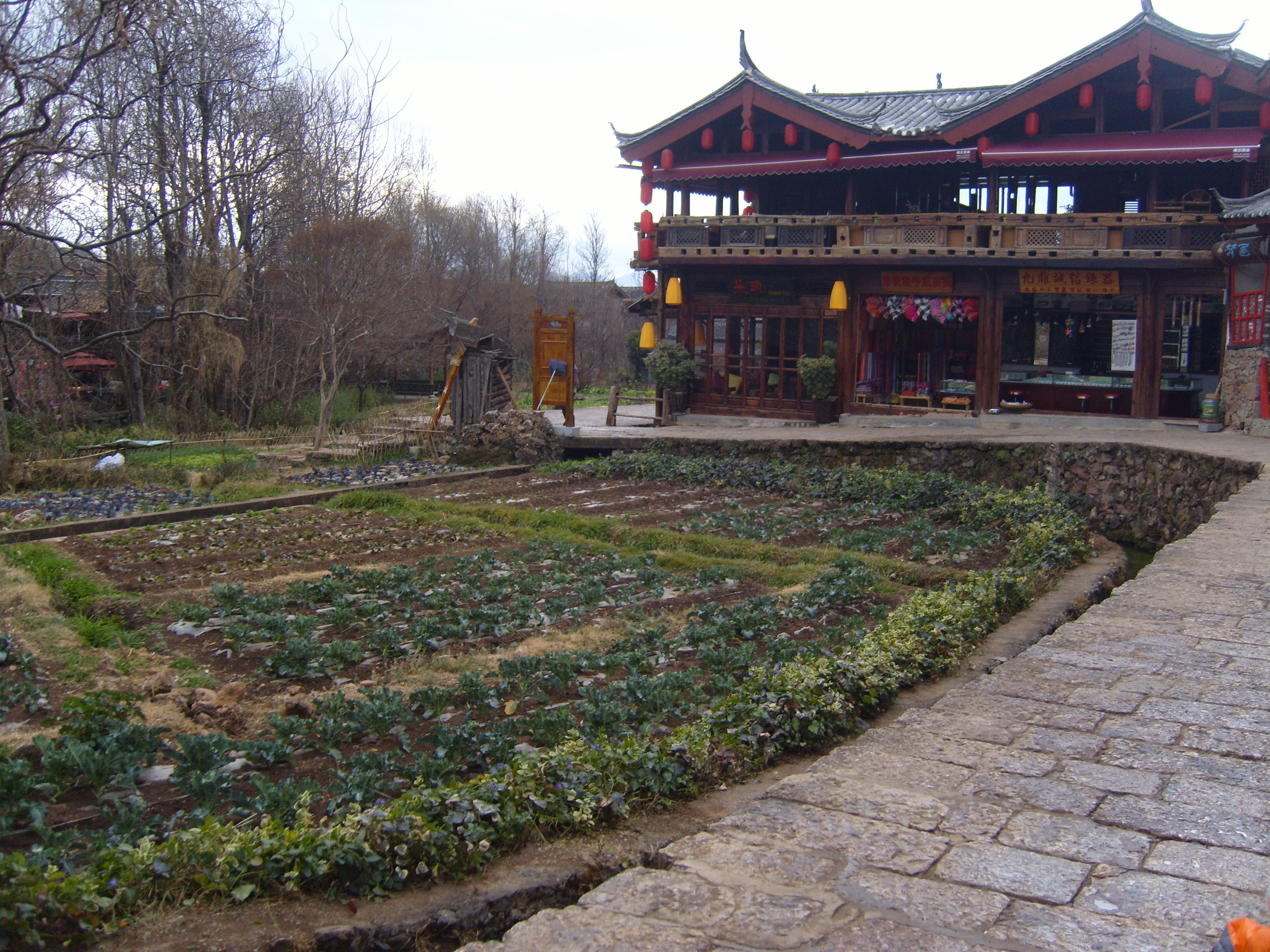
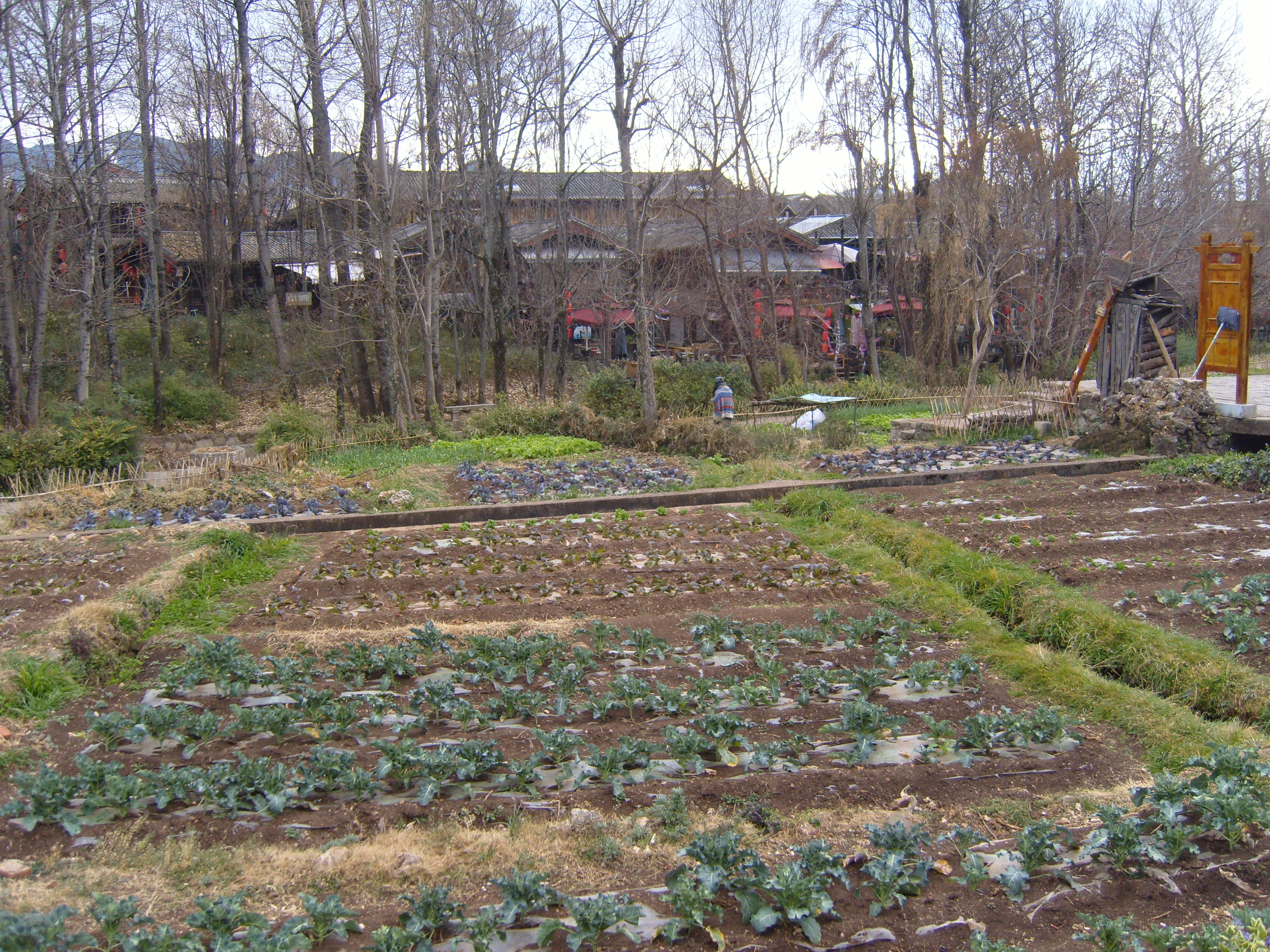
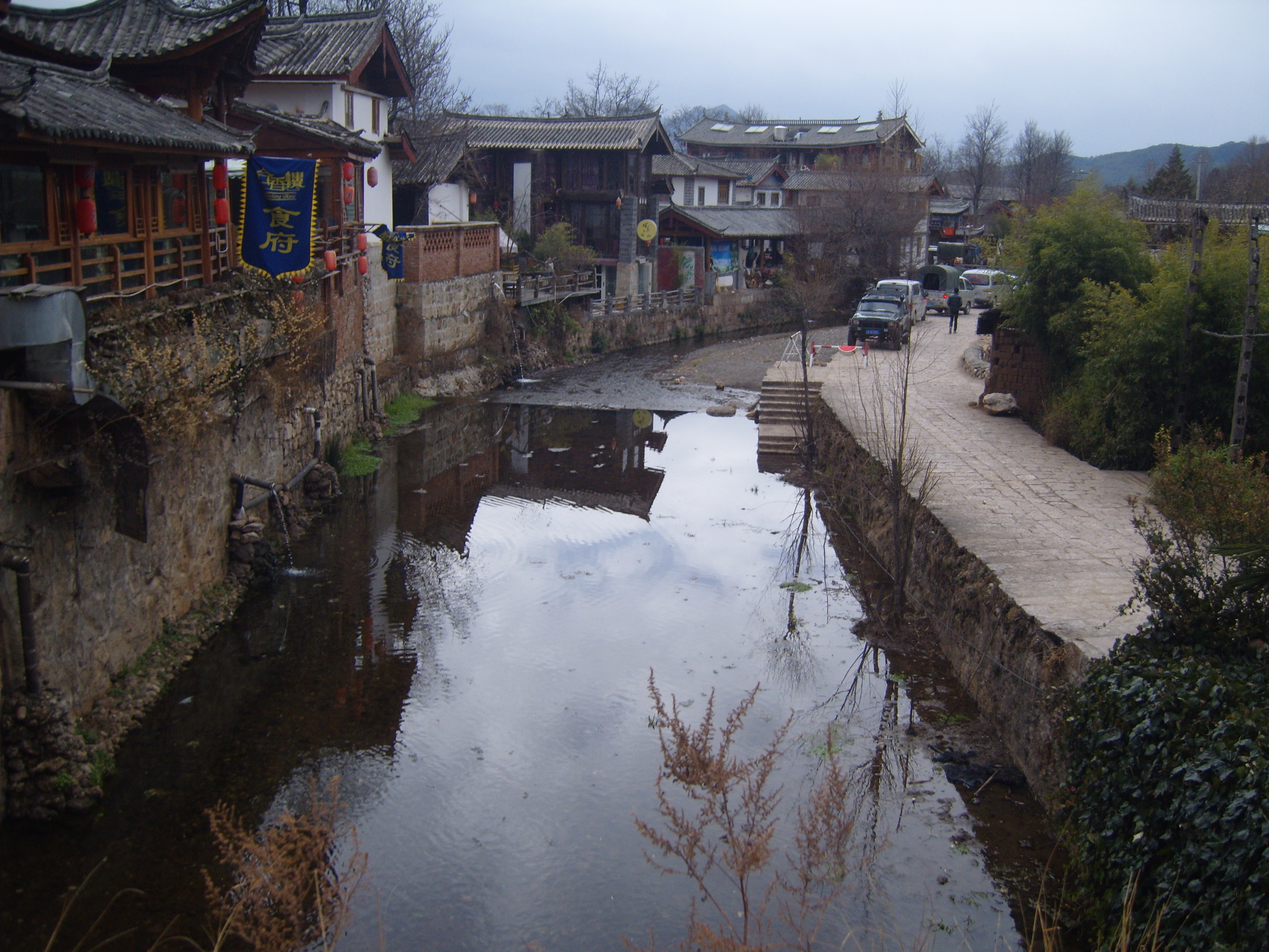
Shu He
An ancient town with a river running through it and around most buildings. People here obviously still grew their own food, washed clothes in the river (the green photo shows the stuff growing in the river), and smoked their own dope (the smell was strong and probably what attracted the backpackers). A bit too touristy for me even in January; can get crowded in warmer months.


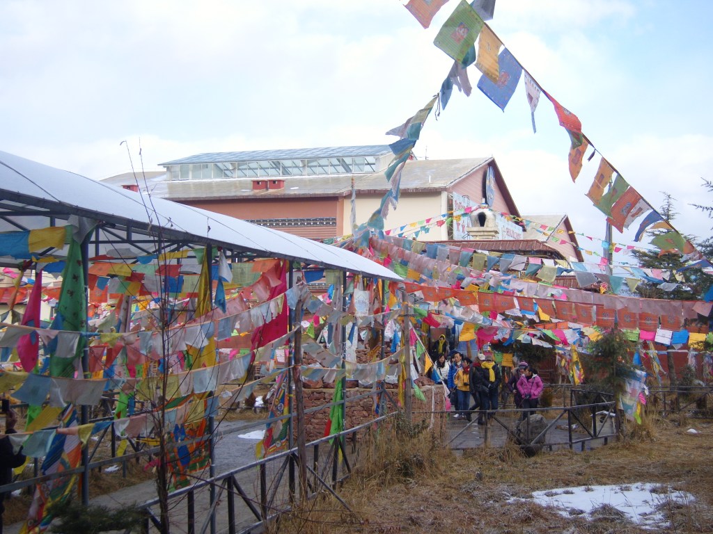
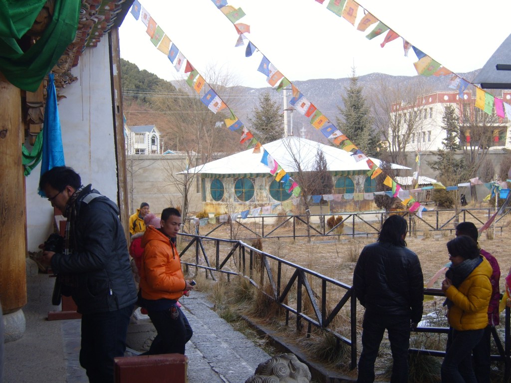
Shangrila
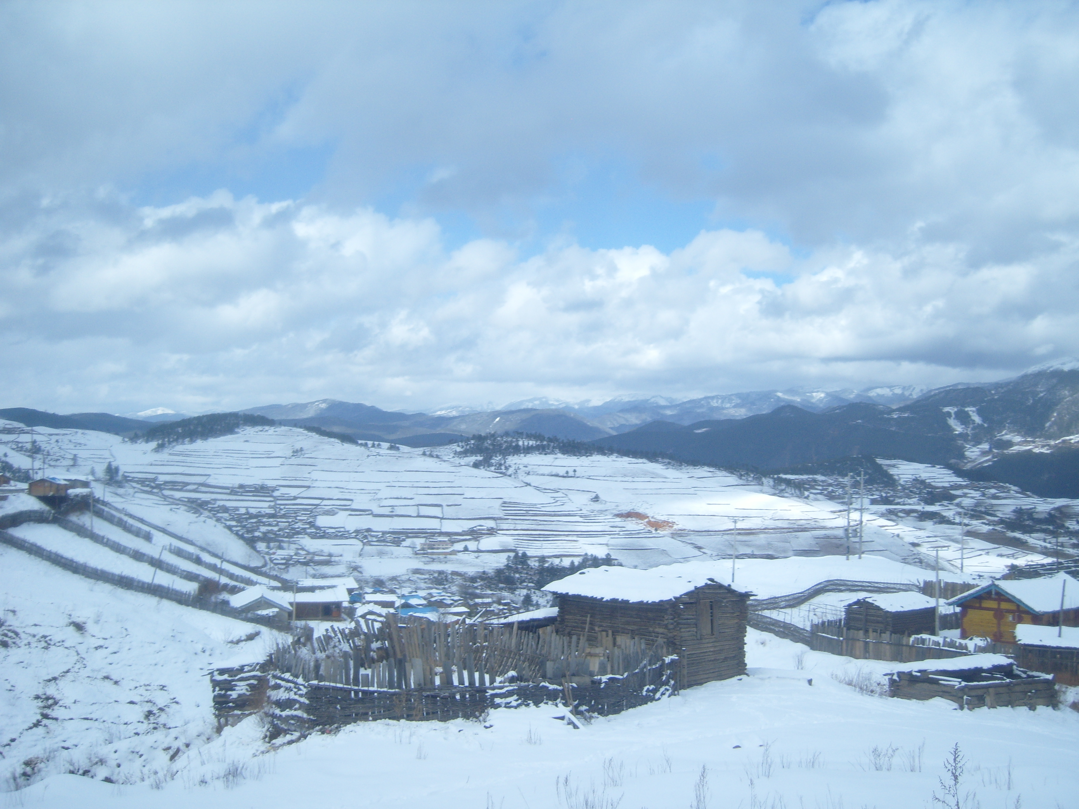
I found an excursion by bus from Lijiang with an overnight stay in Shangrila (香格里拉市 Xianggelila-chu), formerly called Zhongdian (中甸; Zhōngdiàn) but renamed on 17 December 2001 in an effort to promote tourism. It seems to have worked.
It took a phone call to one of my students (Thanks, Dani!) to make the arrangements and buy a ticket. Neither the guide, nor any of the others on the bus (all Chinese) spoke enough English to make a sentence (while I didn’t speak enough Chinese to make sense).
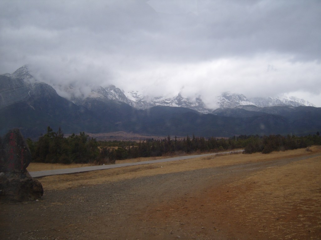
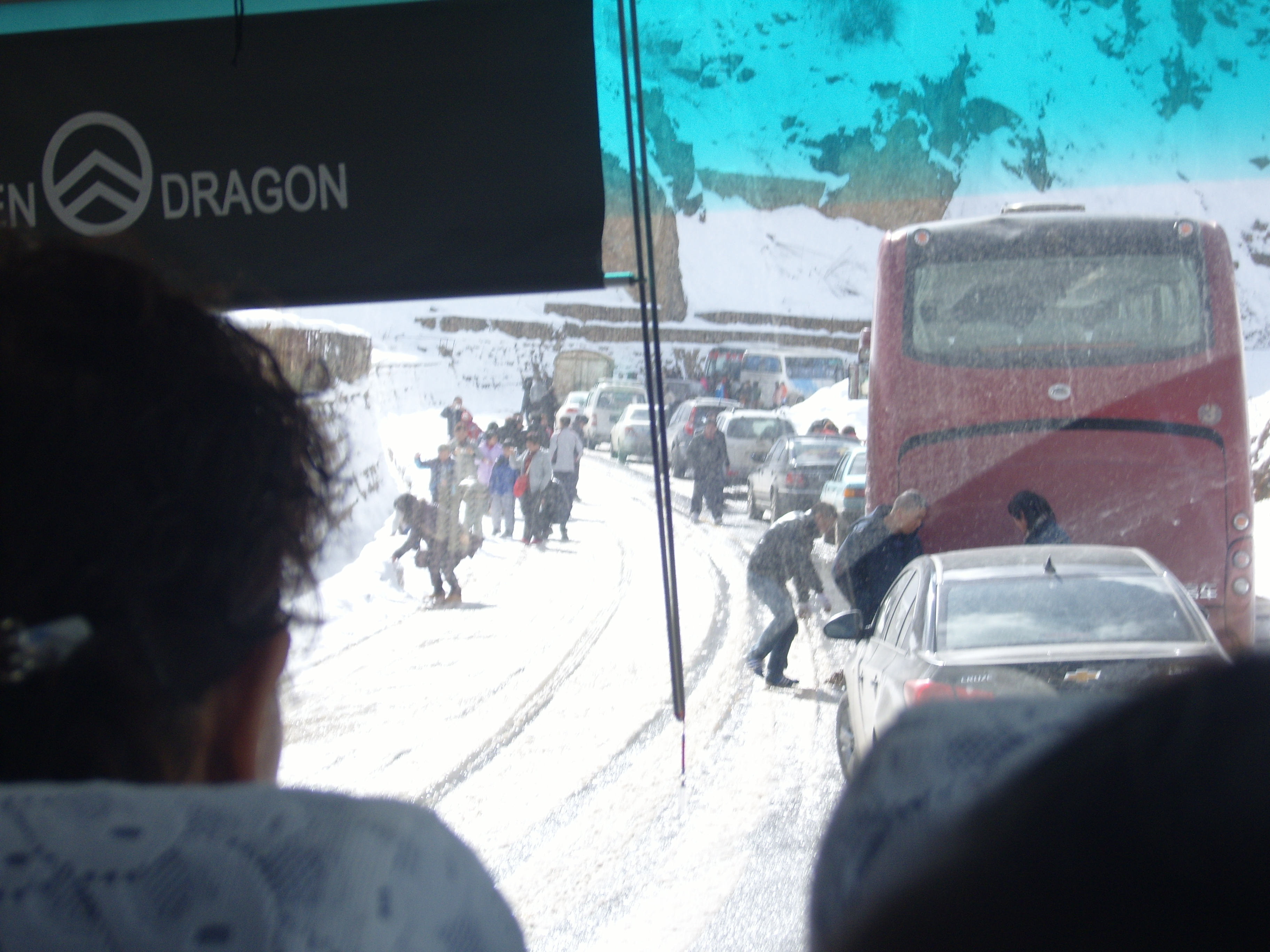
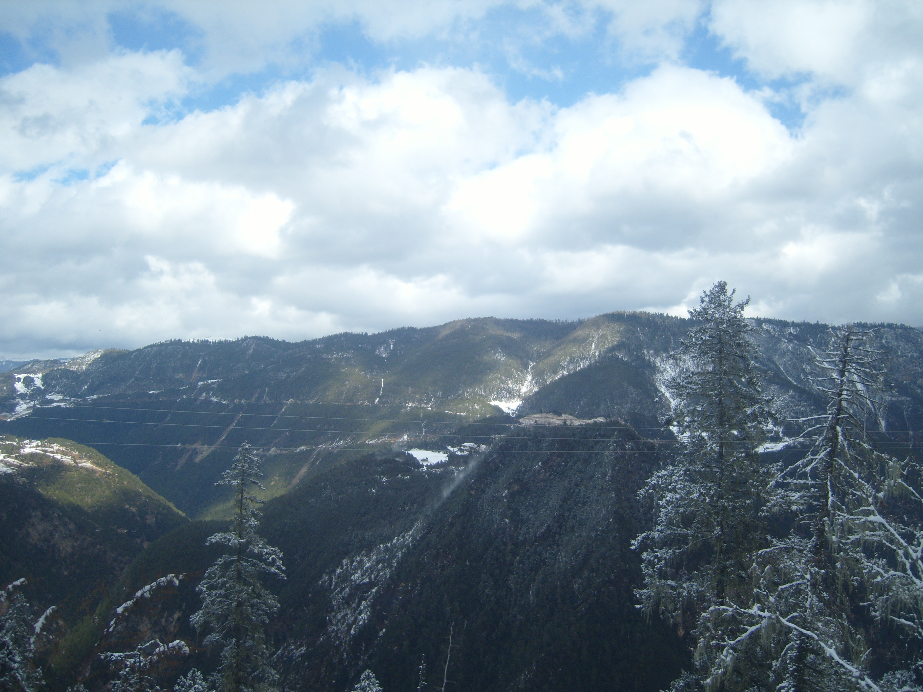
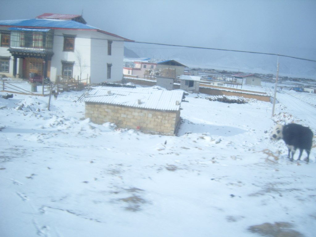
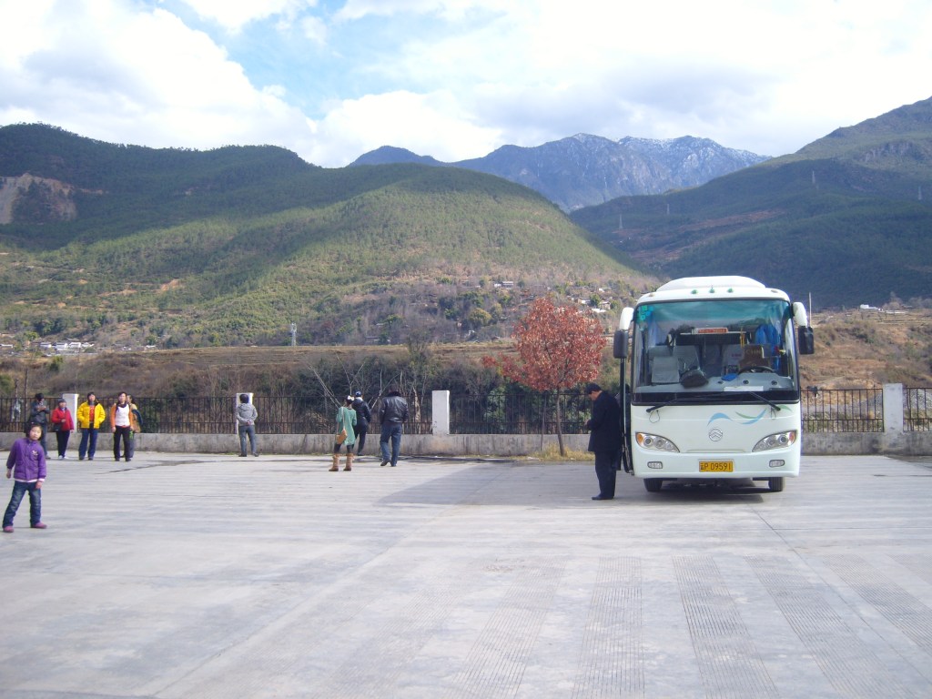
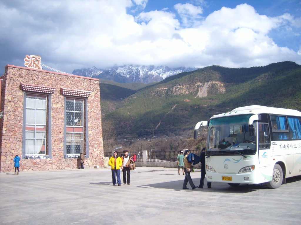
There were several dodgy moments during the trip; almost getting snowed in on the bus on the climb upwards (the road almost became impassable, with traffic on its way down building up and blocking the road, as Chinese drivers like to do – I suppose patience as a virtue must have been one of the “olds” rejected by the Red Guards, and never reinstated); I caught a very bad chill with a fever during the evening, and so missed out on a (relatively expensive) dinner including a performance by local dancers (actually, I’m not sure that was a loss – I spent a couple of hours shivering in a hut, where half a dozen bus drivers had their dinner (and at least a hundred cigarettes), which they invited me to share. I had a little, to be friendly, but it was pretty basic and I felt as bad as it tasted); we stayed in another cold hotel; and there was a near whiteout on the way back down the mountain (I don’t think we quite achieved walking speed for the first couple of hours). Still, at least I can say I’ve been, and the views on the way up were pretty spectacular, if kind of static.
We had a couple of stops en route. The first one just below cloud level to let the driver have a brief rest, and some of the passengers have their photos taken with a yak.


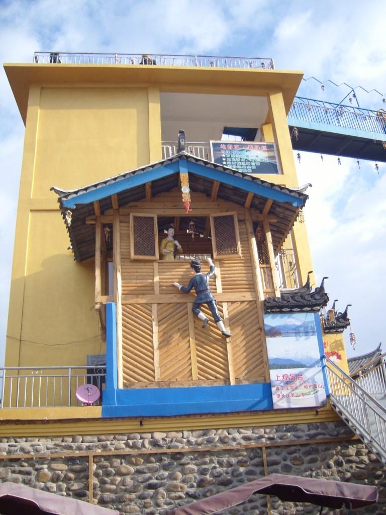


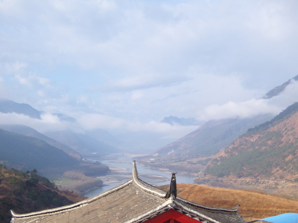

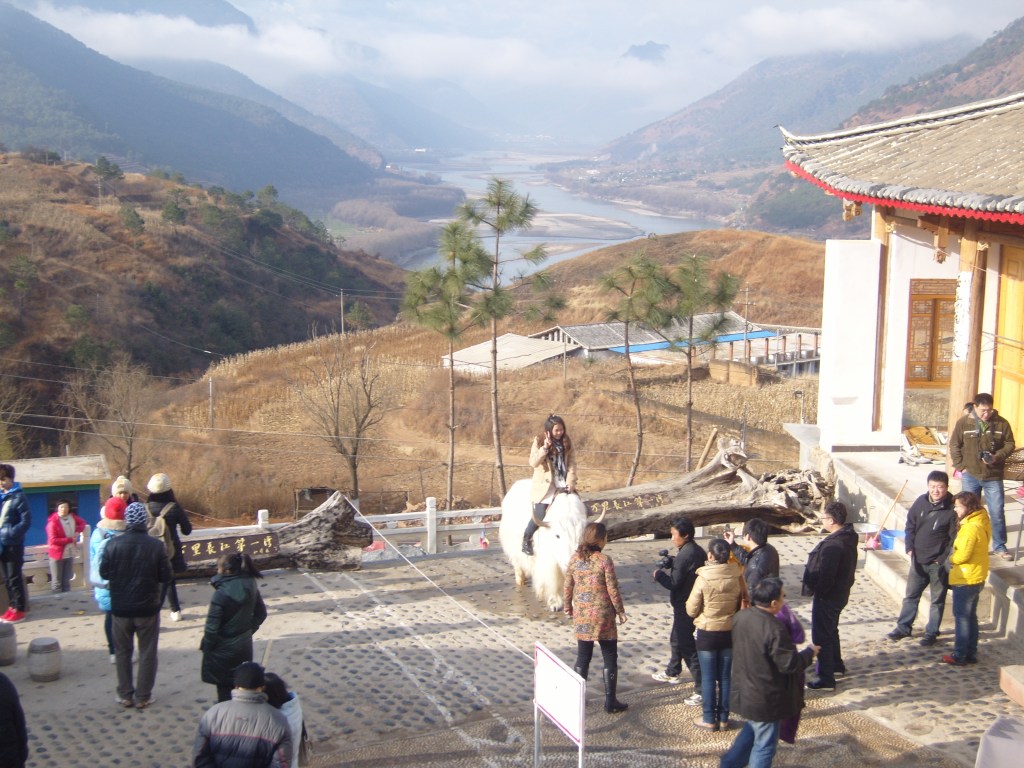
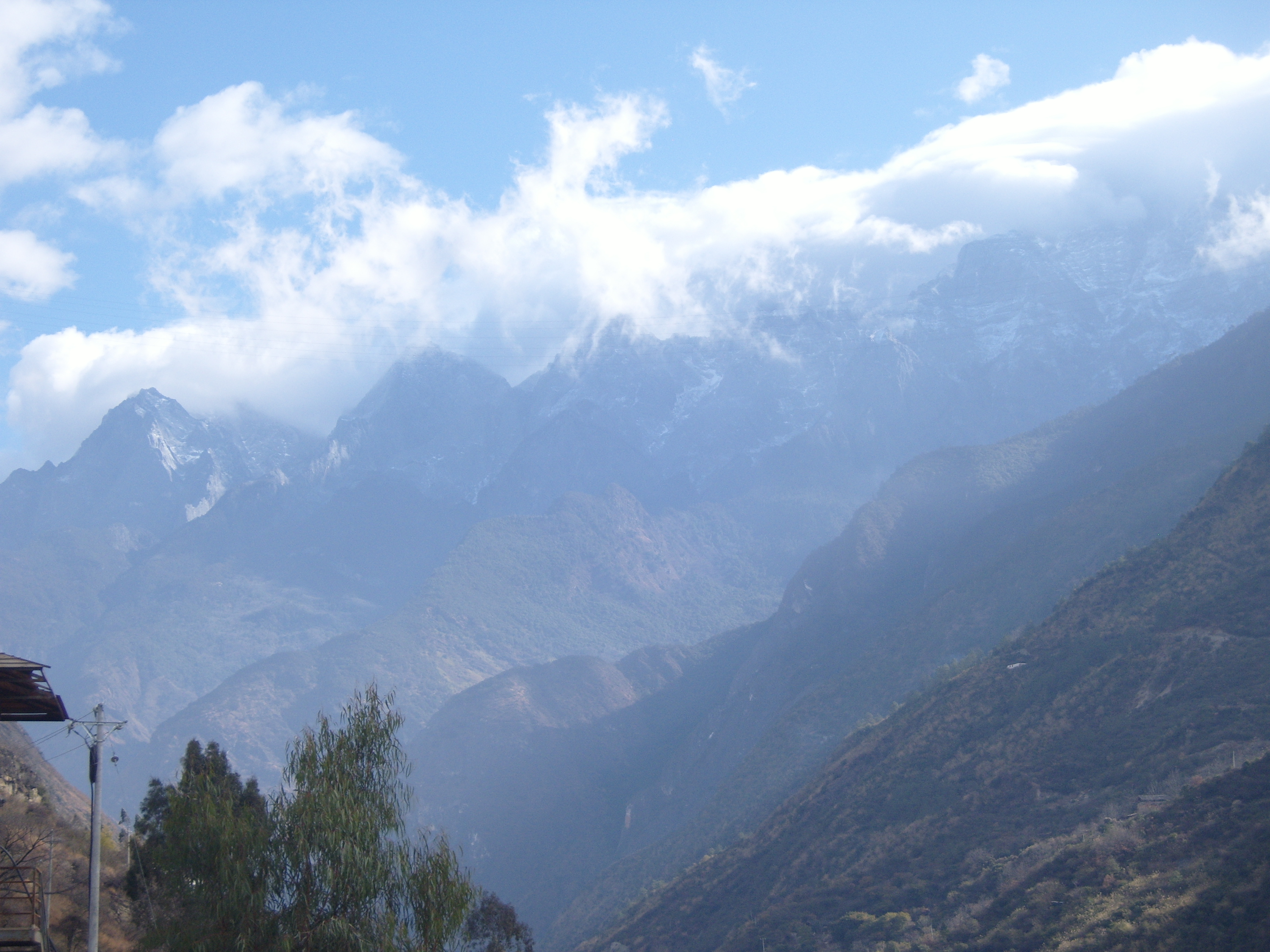
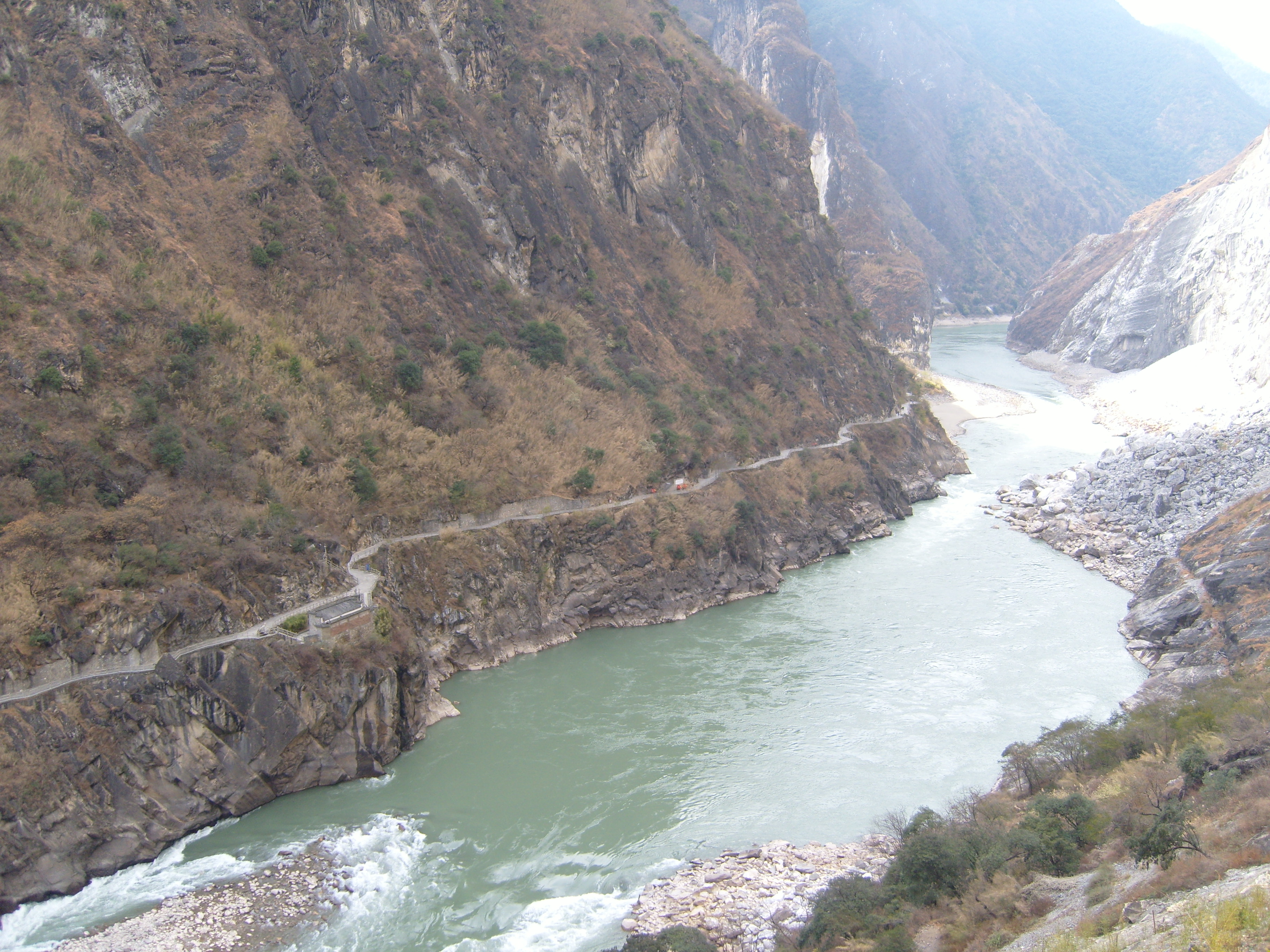
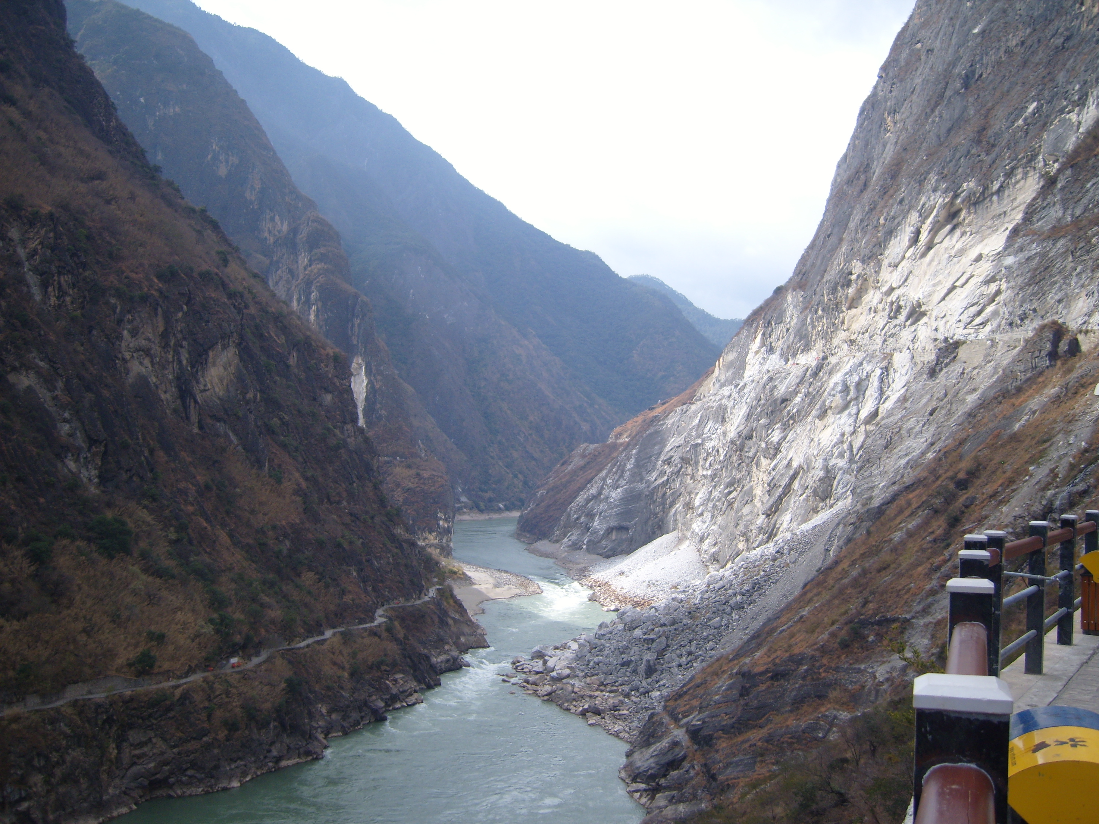
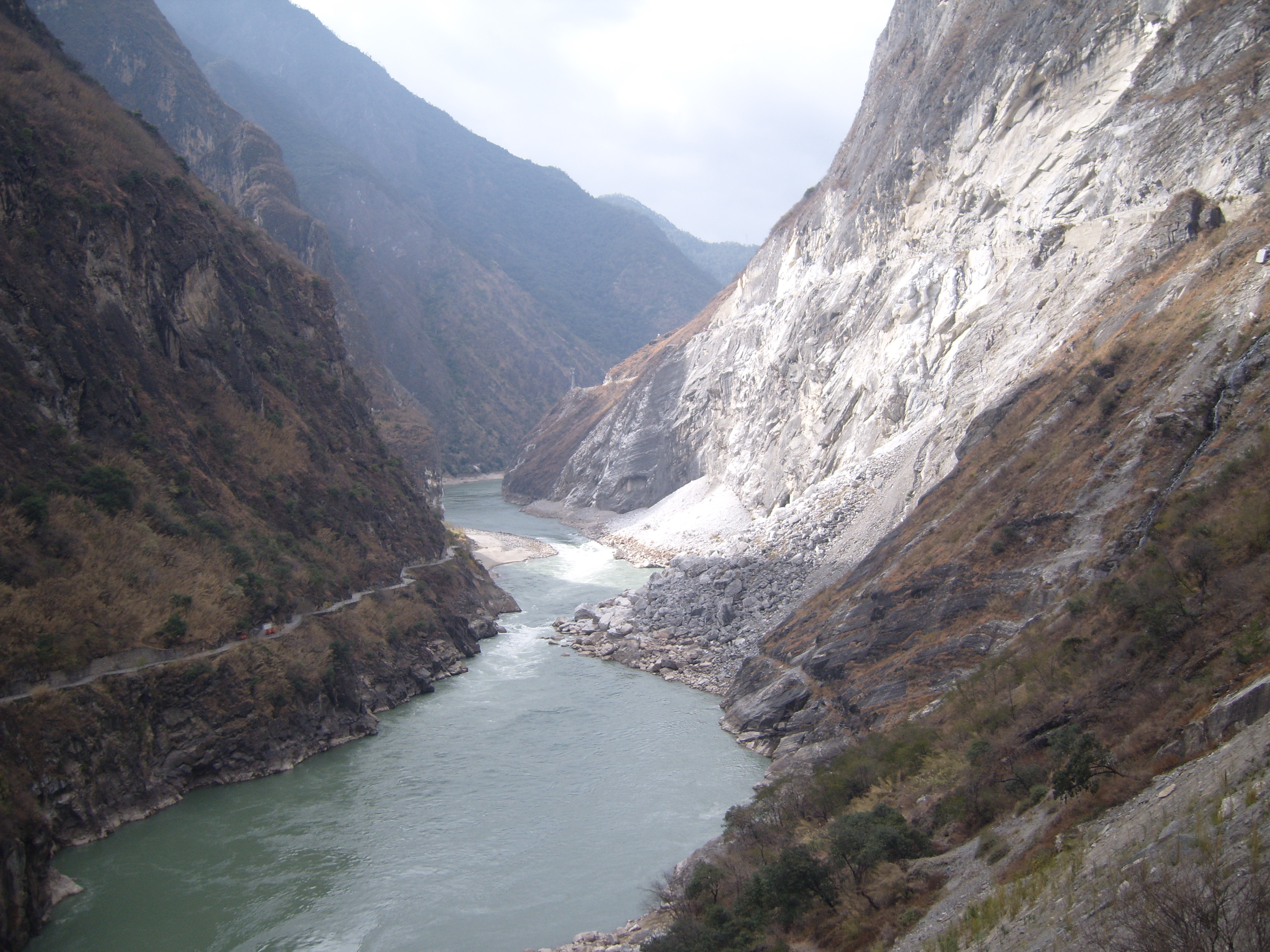
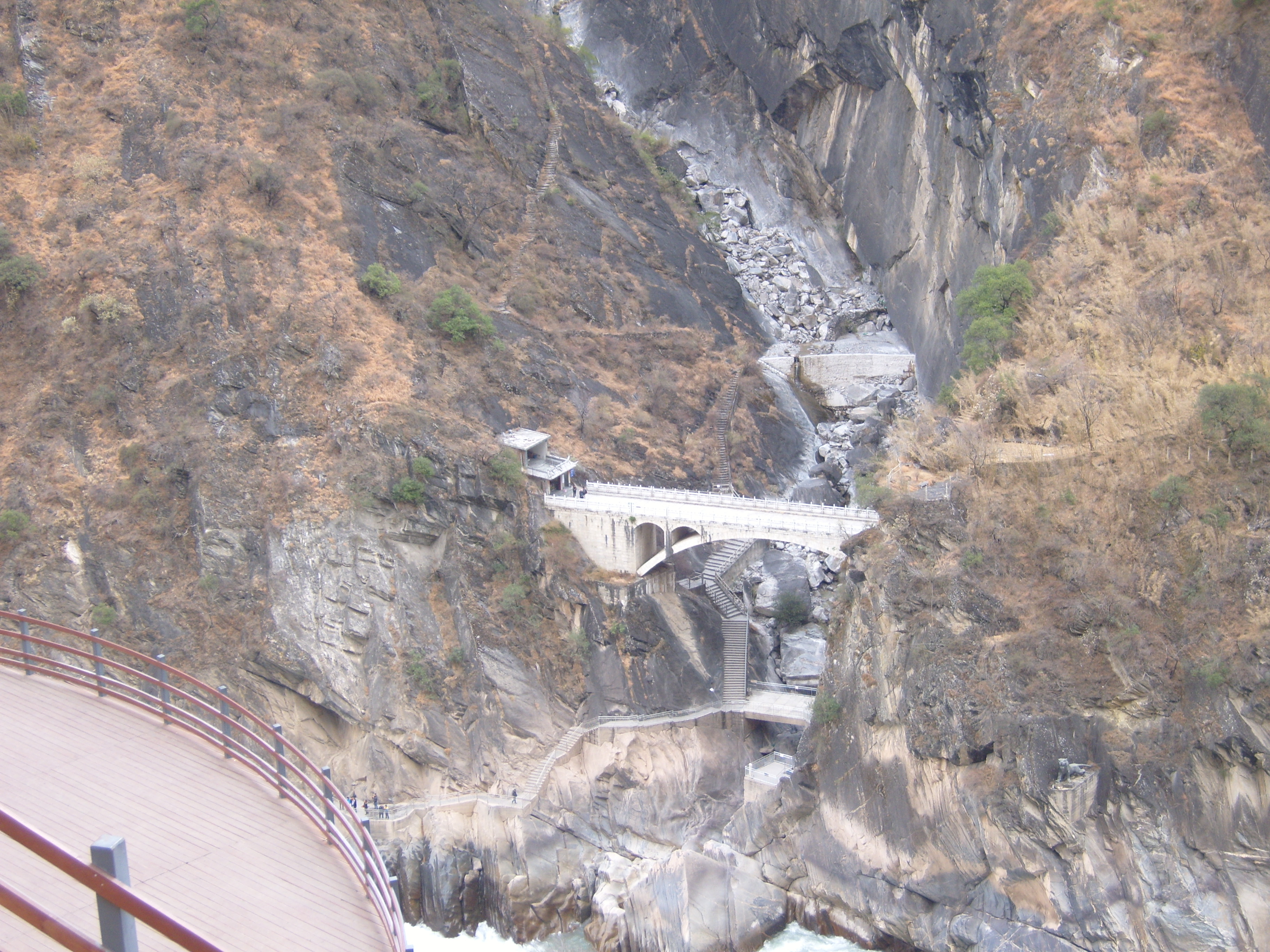
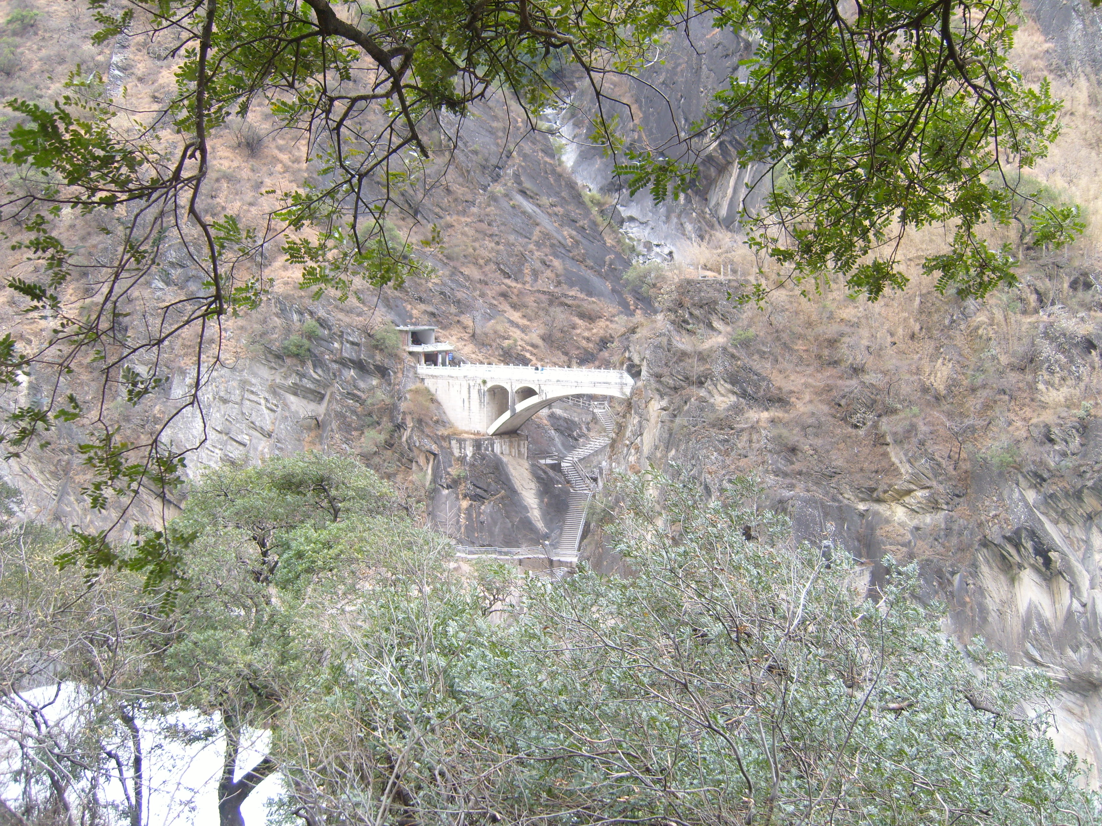
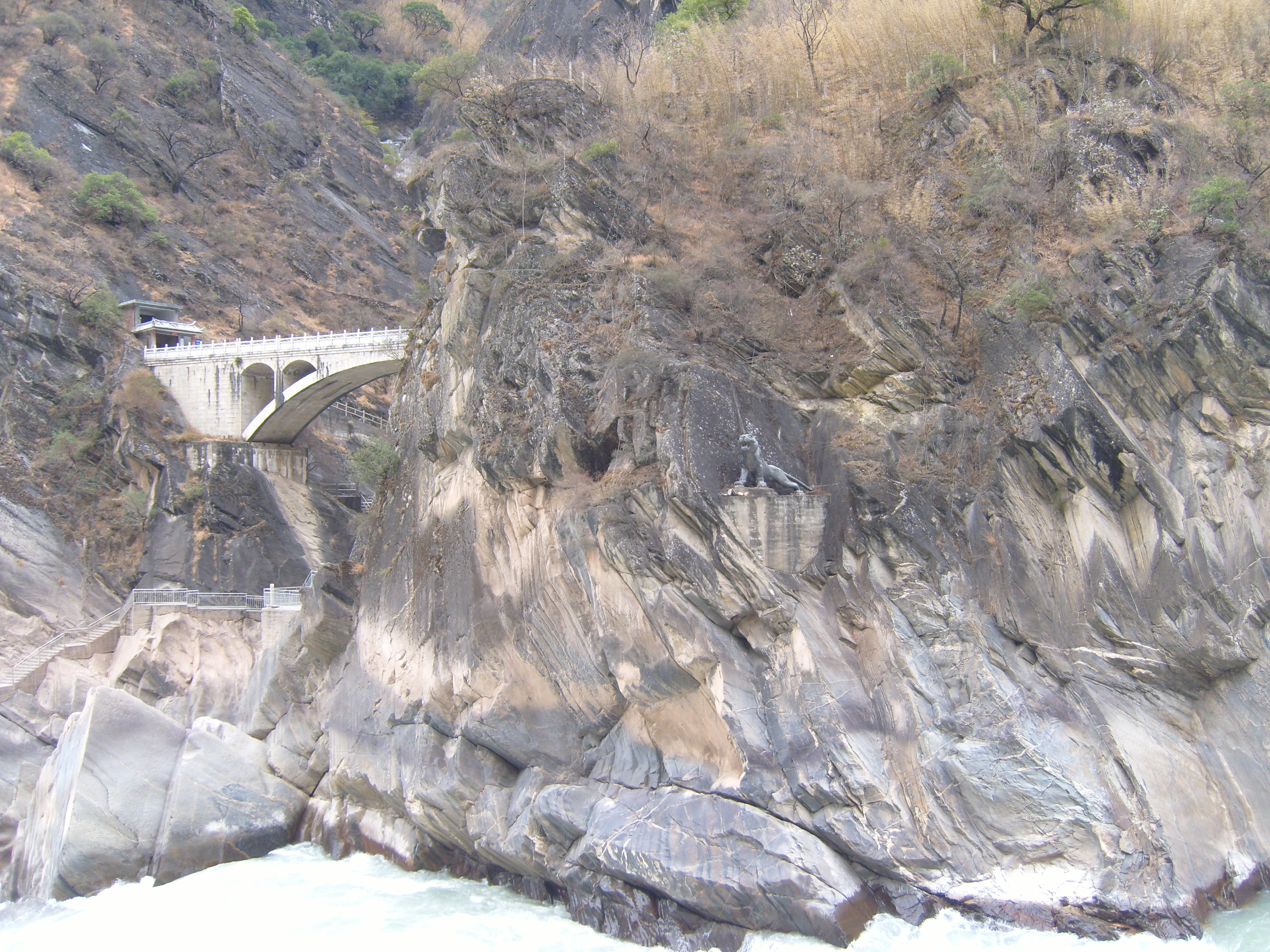
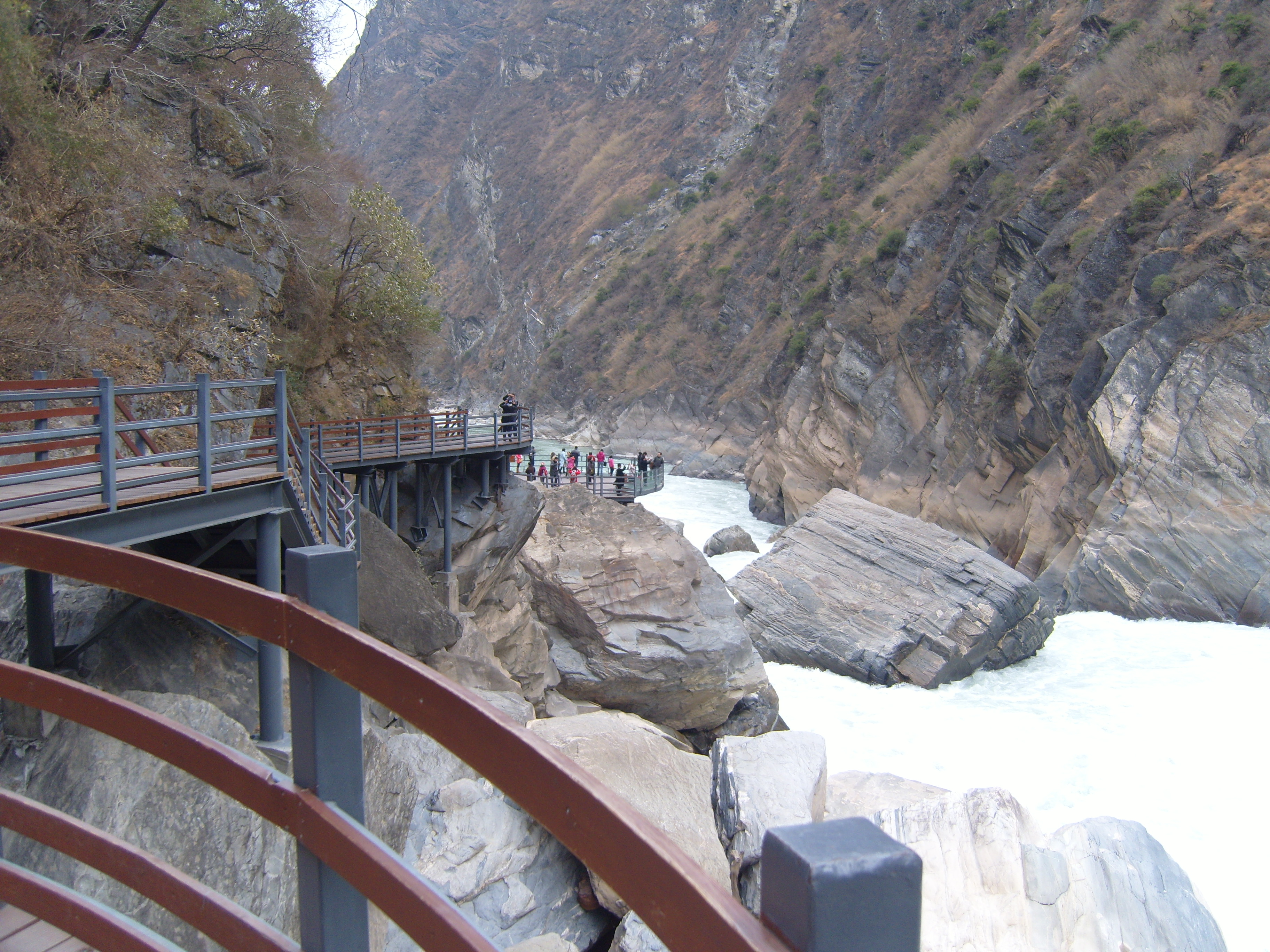
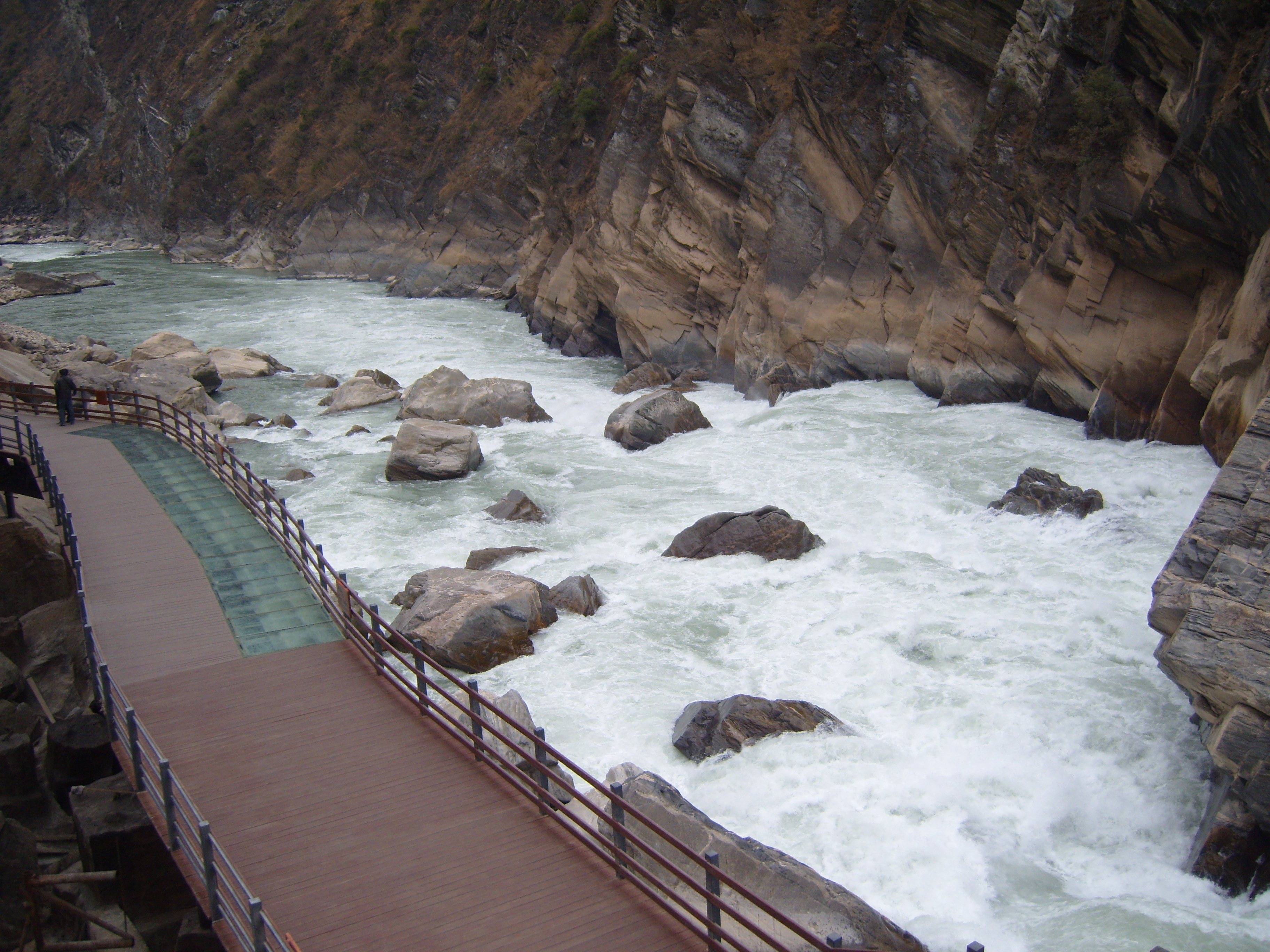
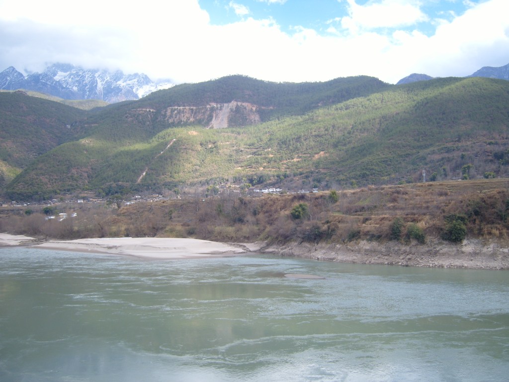
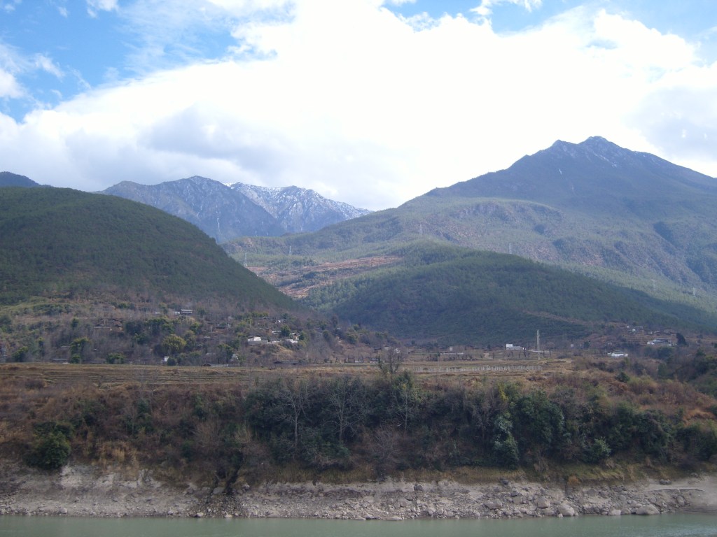
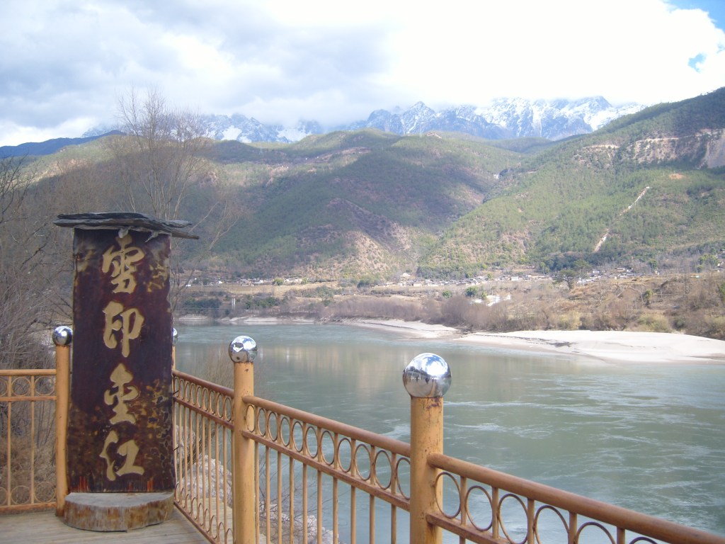
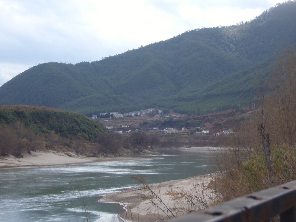
Tiger Leaping Gorge
This was our second stop, still below the snow line. The Wikipedia article on this has some good photos of “one of the deepest and most spectacular river canyons in the world”. There are plenty more on Google. My humbler efforts are here.


Higher up, things got a little bit hairy.


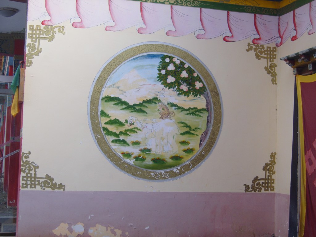
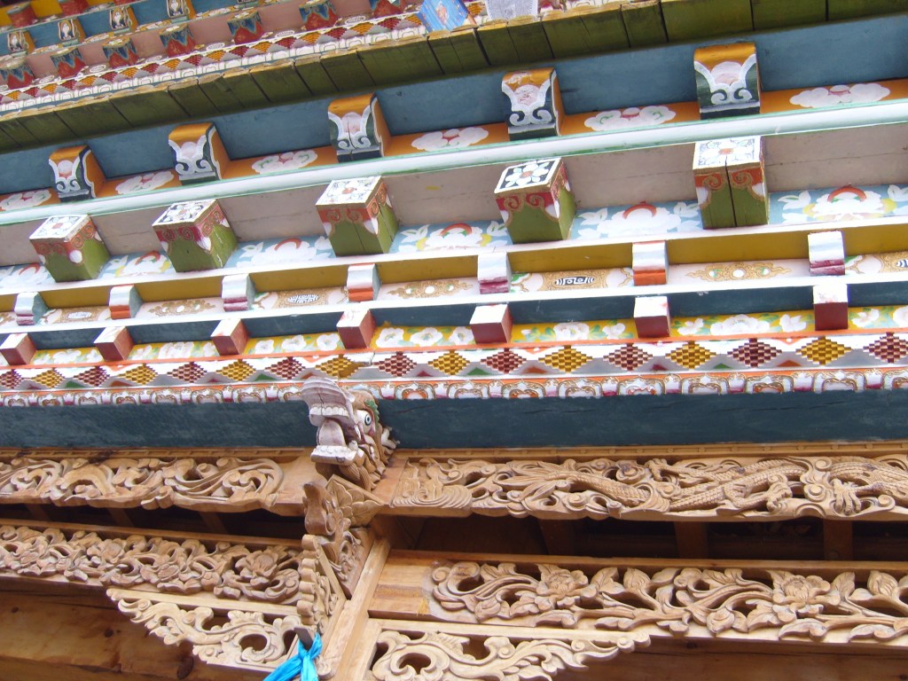
We arrived in Shangrila a few hours late, and didn’t have much time to look around, before being whisked off to the “dinner performance”, which I missed. We did see the outside of one temple, which we had been scheduled to visit, but which had closed by the time we got there.


On the way back, there were a couple of stops at places selling things – which is unavoidable on a Chinese bus trip. The tour guides get a percentage of what the victims, sorry passengers, spend – it’s part of their income. Unfortunately, most of the stuff is jewellery, so not interesting for me. An option is to hang around taking photos from the car park.


Kunming
Kunming is on a different page. Click on the link.
The “Stone Forest” (石林; Shílín)
Also on another page. Click on the link.
